
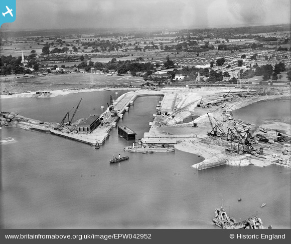
EPW042952 ENGLAND (1933). King George V Graving Dock and environs, Southampton, from the south-east, 1933
© Copyright OpenStreetMap contributors and licensed by the OpenStreetMap Foundation. 2026. Cartography is licensed as CC BY-SA.
Nearby Images (6)
EPW042952

EAW205604

EAW051591

EPW043731

EPW043725

EAW051590

Details
| Title | [EPW042952] King George V Graving Dock and environs, Southampton, from the south-east, 1933 |
| Reference | EPW042952 |
| Date | August-1933 |
| Link | |
| Place name | SOUTHAMPTON |
| Parish | |
| District | |
| Country | ENGLAND |
| Easting / Northing | 439708, 112072 |
| Longitude / Latitude | -1.4351958308555, 50.906199879946 |
| National Grid Reference | SU397121 |
Pins
Be the first to add a comment to this image!