
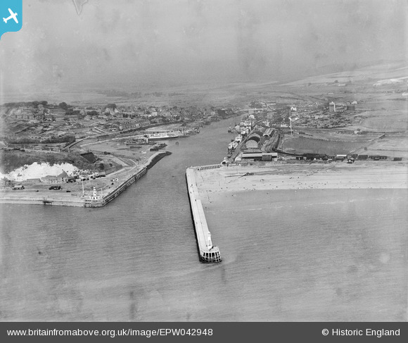
EPW042948 ENGLAND (1933). Newhaven Harbour and environs, Newhaven, from the south-east, 1933
© Copyright OpenStreetMap contributors and licensed by the OpenStreetMap Foundation. 2026. Cartography is licensed as CC BY-SA.
Nearby Images (4)
EPW042948

EPW035310

EAW024799

EAW022962

Details
| Title | [EPW042948] Newhaven Harbour and environs, Newhaven, from the south-east, 1933 |
| Reference | EPW042948 |
| Date | August-1933 |
| Link | |
| Place name | NEWHAVEN |
| Parish | NEWHAVEN |
| District | |
| Country | ENGLAND |
| Easting / Northing | 545308, 99870 |
| Longitude / Latitude | 0.061348955009794, 50.779611308317 |
| National Grid Reference | TV453999 |
Pins
Be the first to add a comment to this image!
User Comment Contributions
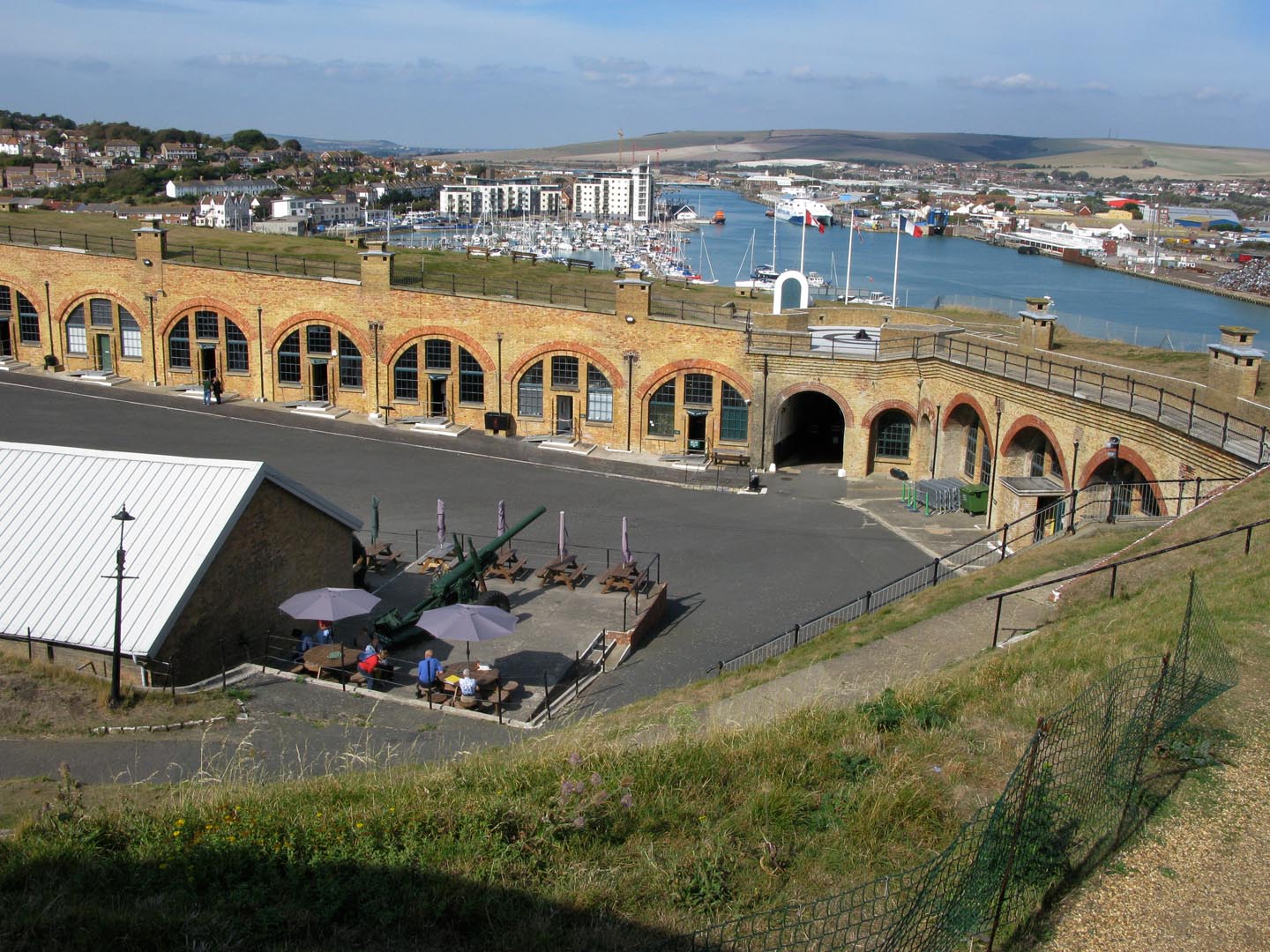
Newhaven Fort |

Alan McFaden |
Saturday 1st of November 2014 09:55:56 AM |
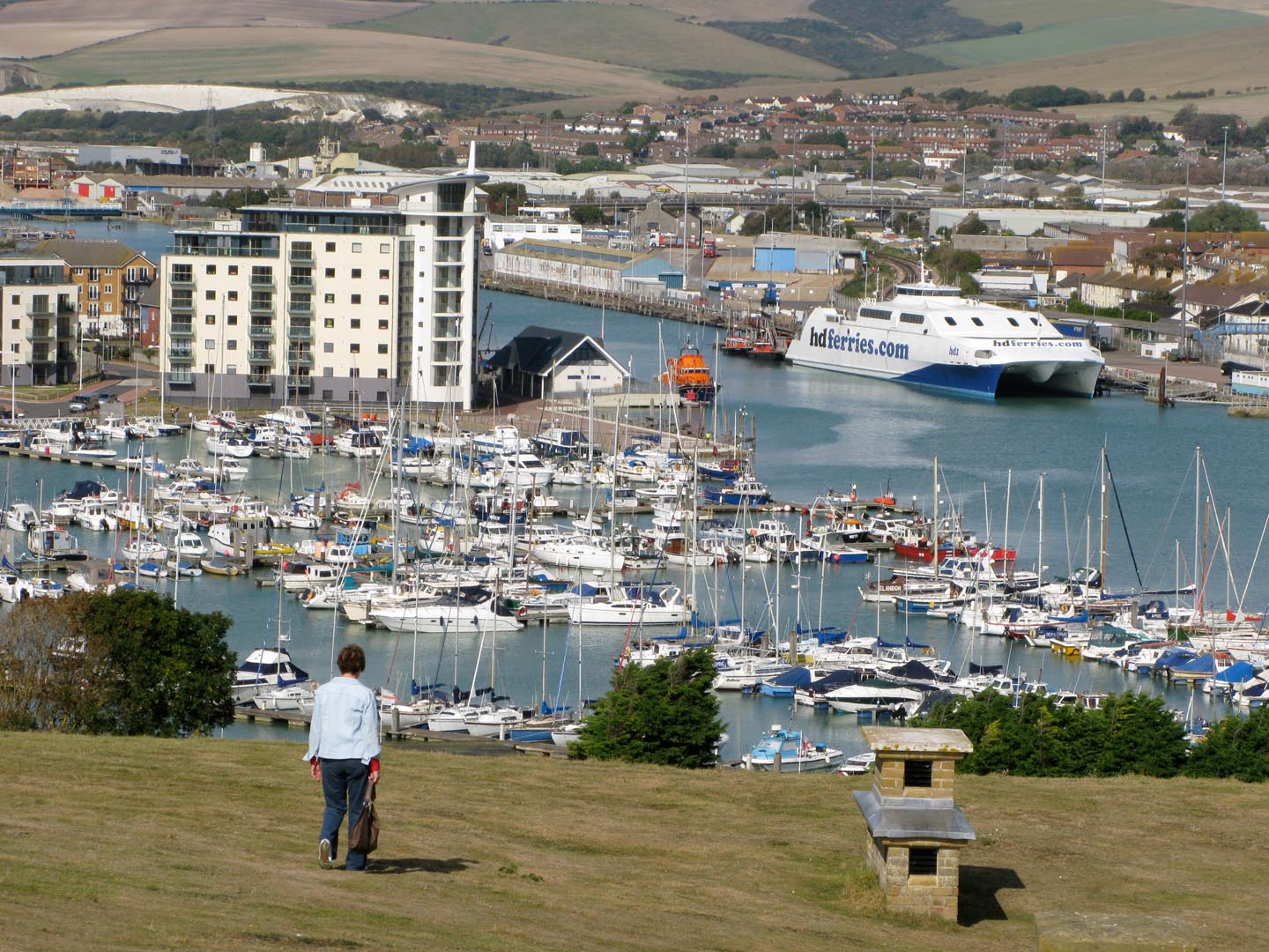
Newhaven |
Alan McFaden |
Saturday 1st of November 2014 09:55:35 AM |
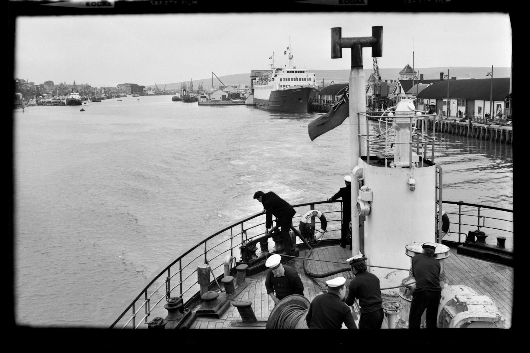
Newhaven Harbour 1965 |
Alan McFaden |
Saturday 1st of November 2014 09:55:17 AM |