
EPW042946 ENGLAND (1933). Bears Hide and housing along the Promenade, Peacehaven, from the south-west, 1933

© Copyright OpenStreetMap contributors and licensed by the OpenStreetMap Foundation. 2026. Cartography is licensed as CC BY-SA.
Nearby Images (3)
EPW042946

EPW041387

EPW041394

Details
| Title | [EPW042946] Bears Hide and housing along the Promenade, Peacehaven, from the south-west, 1933 |
| Reference | EPW042946 |
| Date | August-1933 |
| Link | |
| Place name | PEACEHAVEN |
| Parish | PEACEHAVEN |
| District | |
| Country | ENGLAND |
| Easting / Northing | 541169, 100658 |
| Longitude / Latitude | 0.0029743755360821, 50.787716501793 |
| National Grid Reference | TQ412007 |
Pins

Tarquin Mills |
Friday 30th of April 2021 11:04:52 AM | |
|
vandyke4ad |
Wednesday 22nd of October 2014 02:39:14 PM |
User Comment Contributions
I remember the ruins of this tidal swimming pool from when I was about 3 (1956)! there were breaches in the walls then but still used to be left with water enough to swim in when the tide was out. The tide would come in quickly at this location and you needed to be aware and get off the beach in time. How I can recall this so clearly is a mystery to me! but my sister is 10 years older than me and confirms my memories as correct. |
Lesleyk1 |
Thursday 23rd of April 2015 08:04:17 AM |
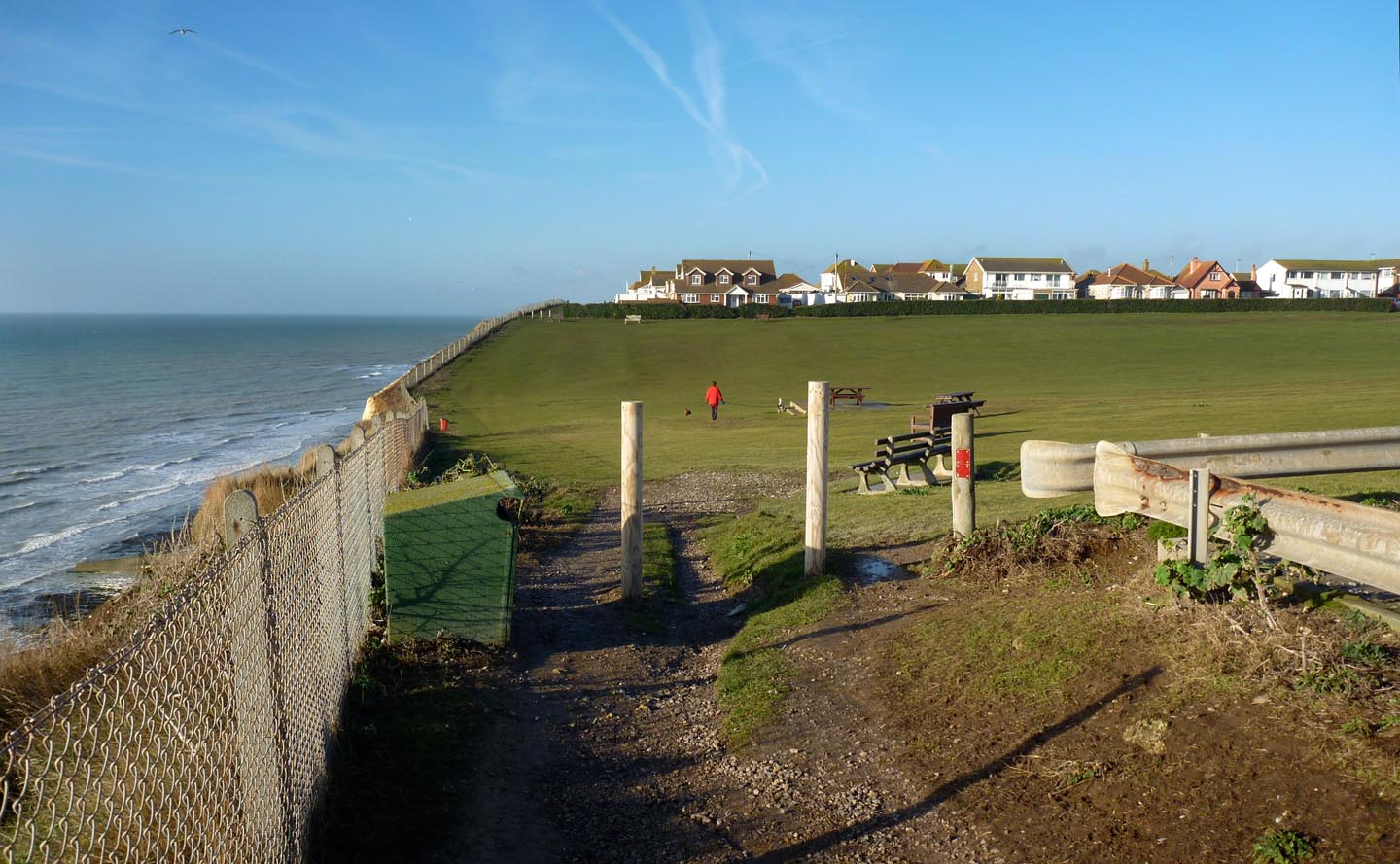
Peacehaven cliff top walk |

Alan McFaden |
Sunday 14th of December 2014 04:06:09 PM |
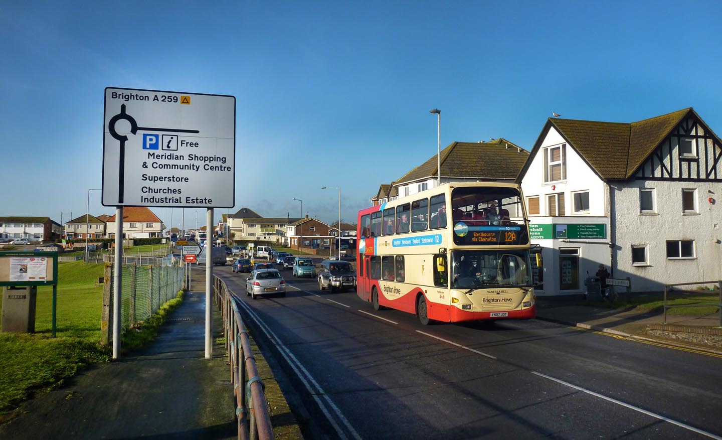
Peacehaven |
Alan McFaden |
Sunday 14th of December 2014 04:01:33 PM |
Peacehaven on the Meridian Line |
Alan McFaden |
Sunday 14th of December 2014 04:01:12 PM |
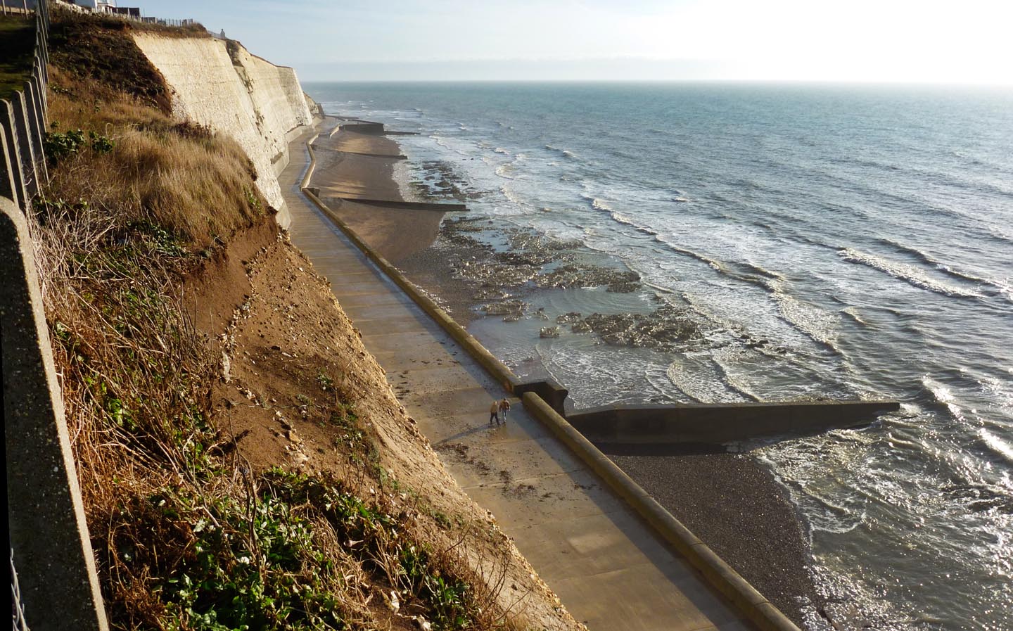
Peacehaven undercliff walk |
Alan McFaden |
Sunday 14th of December 2014 04:00:15 PM |
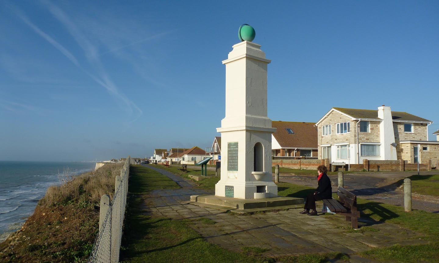
Peacehaven Meridian Marker |
Alan McFaden |
Sunday 14th of December 2014 03:59:10 PM |