
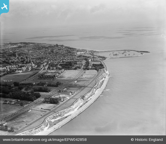
EPW042858 ENGLAND (1933). West Cliff, the Royal Harbour and the town, Ramsgate, from the south-west, 1933
© Copyright OpenStreetMap contributors and licensed by the OpenStreetMap Foundation. 2026. Cartography is licensed as CC BY-SA.
Nearby Images (14)
EPW042858

EAW009000

EAW009027

EPW039347

EPW035448

EAW009026

EAW009001

EPW039355

EPW042860

EAW009022

EPW042863

EAW009019

EAW009018

EAW009020

Details
| Title | [EPW042858] West Cliff, the Royal Harbour and the town, Ramsgate, from the south-west, 1933 |
| Reference | EPW042858 |
| Date | August-1933 |
| Link | |
| Place name | RAMSGATE |
| Parish | RAMSGATE |
| District | |
| Country | ENGLAND |
| Easting / Northing | 637104, 164046 |
| Longitude / Latitude | 1.4036420466709, 51.325501509127 |
| National Grid Reference | TR371640 |
Pins

Alan McFaden |
Tuesday 14th of October 2014 10:16:13 AM |

User Comment Contributions
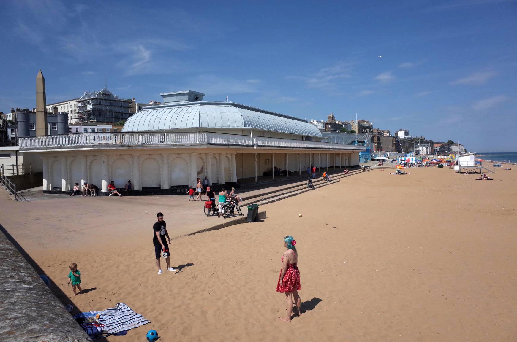
Ramsgate Beach |
Alan McFaden |
Tuesday 14th of October 2014 10:15:24 AM |
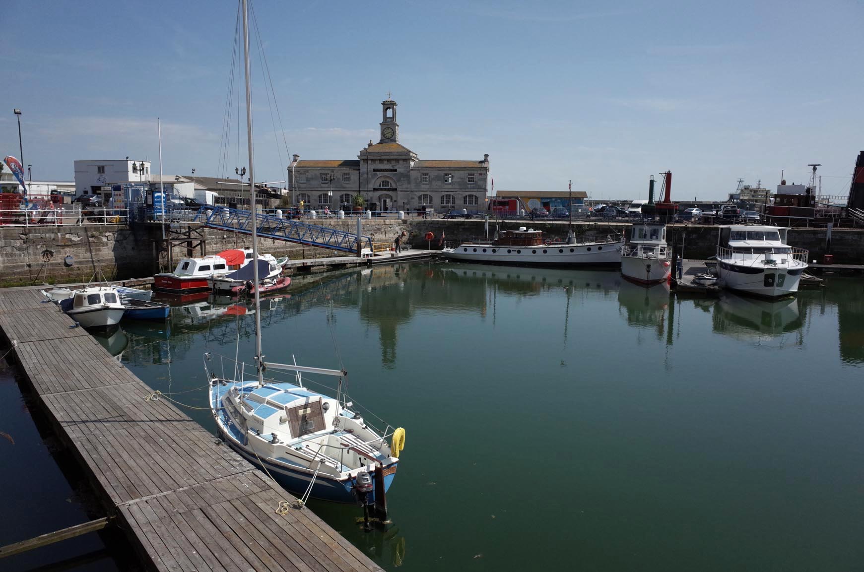
Ramsgate Harbour |
Alan McFaden |
Tuesday 14th of October 2014 10:15:06 AM |