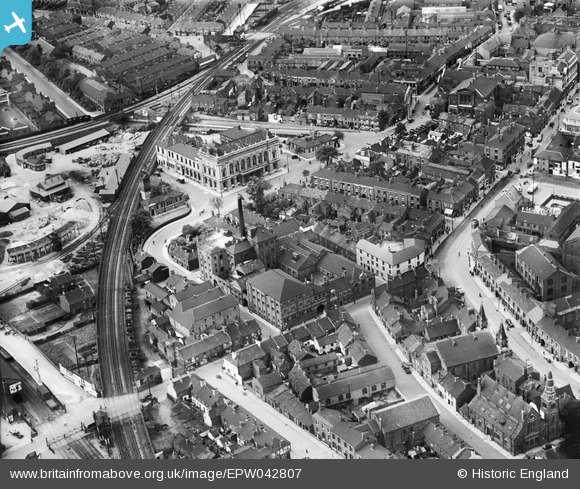
EPW042807 ENGLAND (1933). Town Hall Square, the Tower Brewery and environs, Grimsby, 1933
© Copyright OpenStreetMap contributors and licensed by the OpenStreetMap Foundation. 2026. Cartography is licensed as CC BY-SA.
Nearby Images (8)
Details
| Title | [EPW042807] Town Hall Square, the Tower Brewery and environs, Grimsby, 1933 |
| Reference | EPW042807 |
| Date | August-1933 |
| Link | |
| Place name | GRIMSBY |
| Parish | |
| District | |
| Country | ENGLAND |
| Easting / Northing | 527154, 409370 |
| Longitude / Latitude | -0.07984108031432, 53.565270759468 |
| National Grid Reference | TA272094 |
Pins
User Comment Contributions

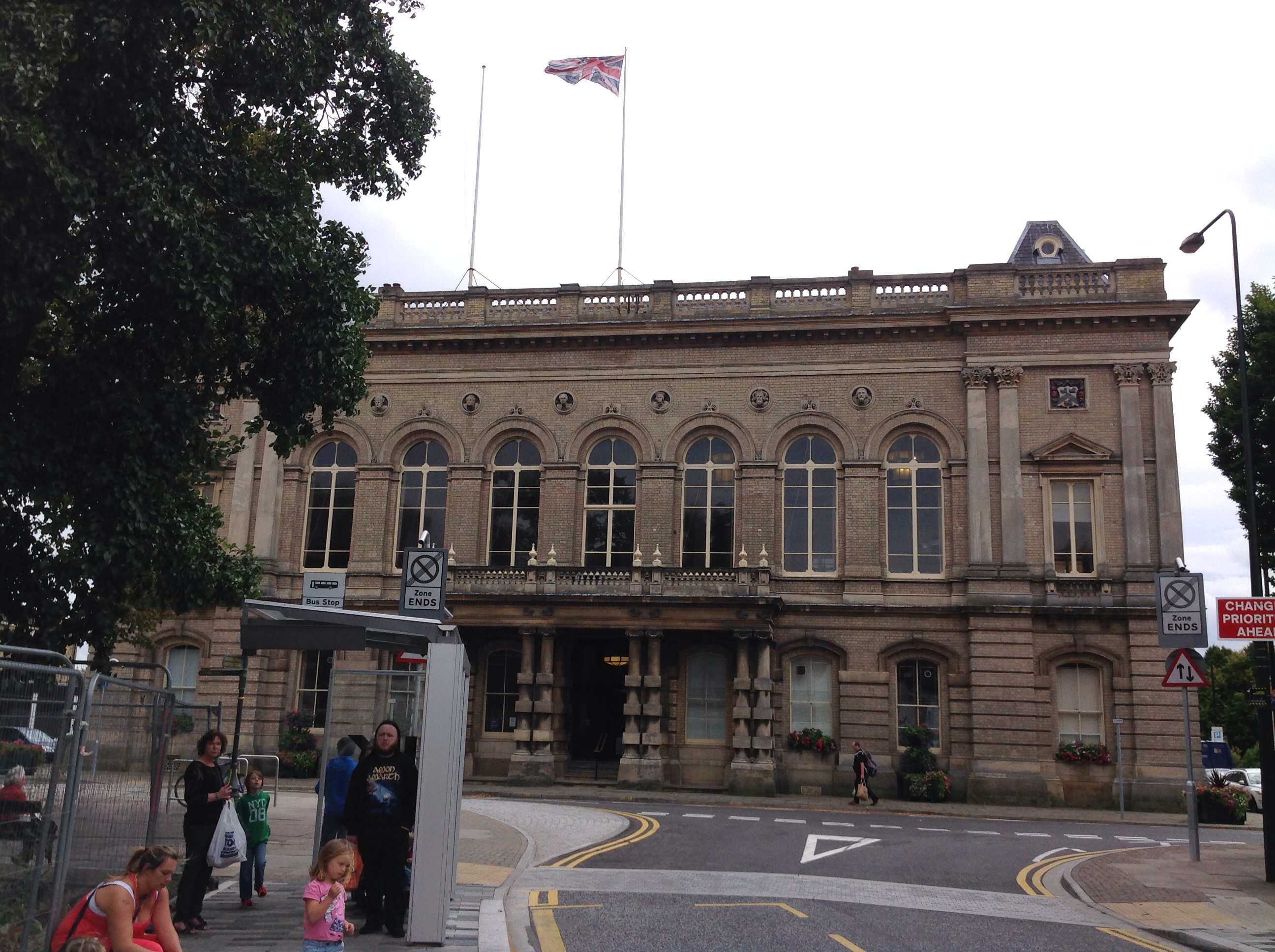
Grimsby Town Hall, 29/08/2014 |

Class31 |
Friday 29th of August 2014 09:10:05 PM |
The photograph shows two lines from Grimsby town station. The one at the top of the photograph leads to Goods Junction signal box and the GN main line to Louth and Peterborough. The other one leaves the station and passes behind Grimsby Town Hall leading to Pasture Street Junction and eventually to Cleethorpes. The signal box at the bottom of the picture is Pasture Street and it controls the level crossings over the main line to Cleethorpes and on the left a level crossing over a single line to Pasture Street Goods depot and through to Goods Junction on the GN line. Thereby making a triangle of lines around the Grimsby Corporation Council Depot on the left of the photograph. Tower brewery is in the centre of the photograph. Orby Bradley's coal yard next to the main line leading to Pasture Street has coal mineral wagons in the siding. |

mhayles |
Tuesday 17th of September 2013 08:02:39 PM |


![[EPW042807] Town Hall Square, the Tower Brewery and environs, Grimsby, 1933](http://britainfromabove.org.uk/sites/all/libraries/aerofilms-images/public/100x100/EPW/042/EPW042807.jpg)
![[EPW042804] The Corporation Yard, Osmond and Sons Standard Chemical Works and environs, Grimsby, 1933](http://britainfromabove.org.uk/sites/all/libraries/aerofilms-images/public/100x100/EPW/042/EPW042804.jpg)
![[EAW052053] The Osmond and Sons Ltd Moss Road Works, Grimsby, 1953. This image was marked by Aerofilms Ltd for photo editing.](http://britainfromabove.org.uk/sites/all/libraries/aerofilms-images/public/100x100/EAW/052/EAW052053.jpg)
![[EAW052050] The Osmond and Sons Ltd Moss Road Works, Grimsby, 1953. This image was marked by Aerofilms Ltd for photo editing.](http://britainfromabove.org.uk/sites/all/libraries/aerofilms-images/public/100x100/EAW/052/EAW052050.jpg)
![[EAW052051] The Osmond and Sons Ltd Moss Road Works alongside the Moss Road Power Station, Grimsby, 1953. This image was marked by Aerofilms Ltd for photo editing.](http://britainfromabove.org.uk/sites/all/libraries/aerofilms-images/public/100x100/EAW/052/EAW052051.jpg)
![[EPW042071] Grimsby Gas Works and environs, Grimsby, 1933](http://britainfromabove.org.uk/sites/all/libraries/aerofilms-images/public/100x100/EPW/042/EPW042071.jpg)
![[EPW042066] Grimsby Gas Works, Sheepfold Street and environs, Grimsby, 1933](http://britainfromabove.org.uk/sites/all/libraries/aerofilms-images/public/100x100/EPW/042/EPW042066.jpg)
![[EAW029029] West Haven and the town, Grimsby, from the south-west, 1950. This image was marked by Aerofilms Ltd for photo editing.](http://britainfromabove.org.uk/sites/all/libraries/aerofilms-images/public/100x100/EAW/029/EAW029029.jpg)