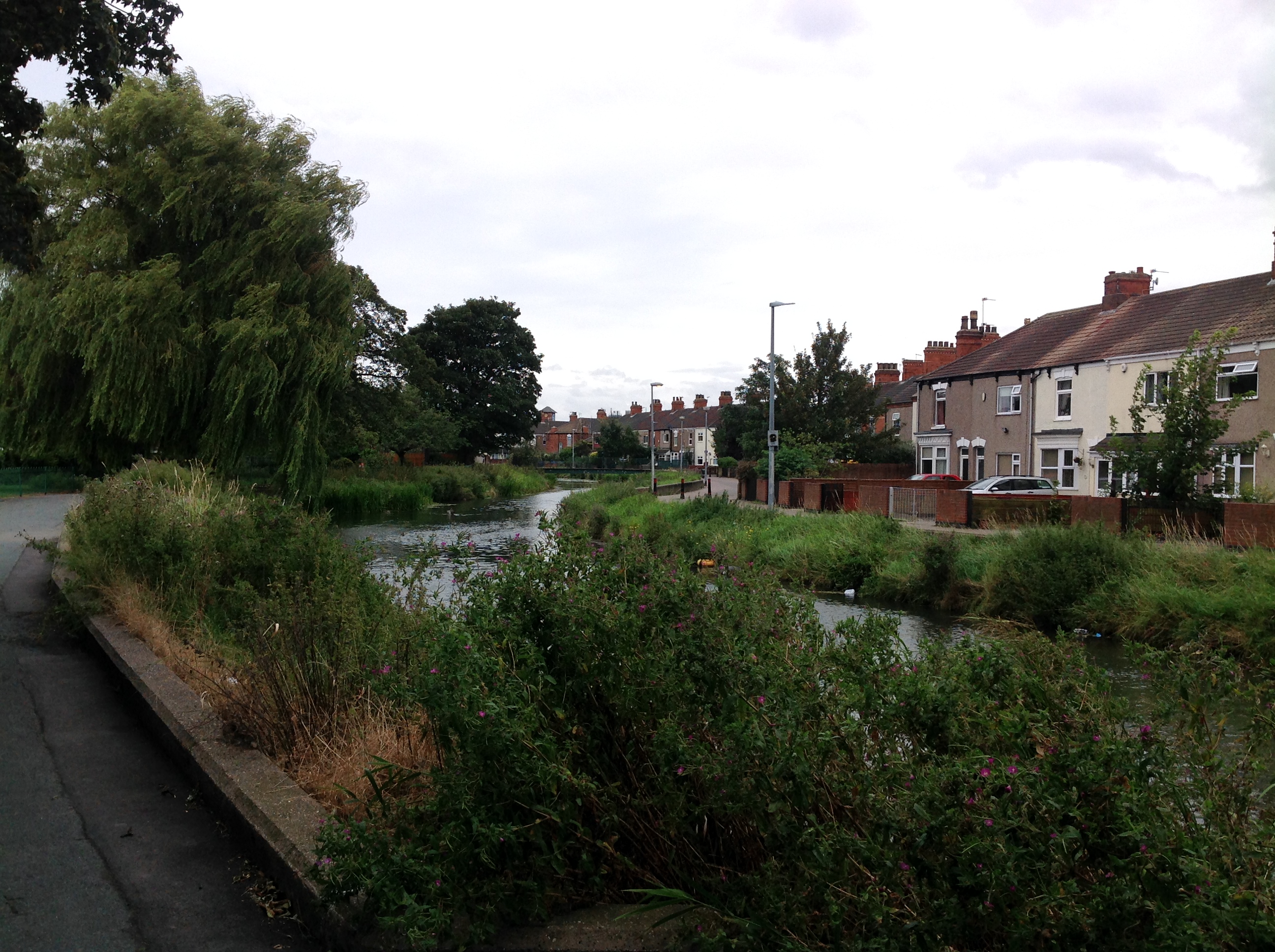
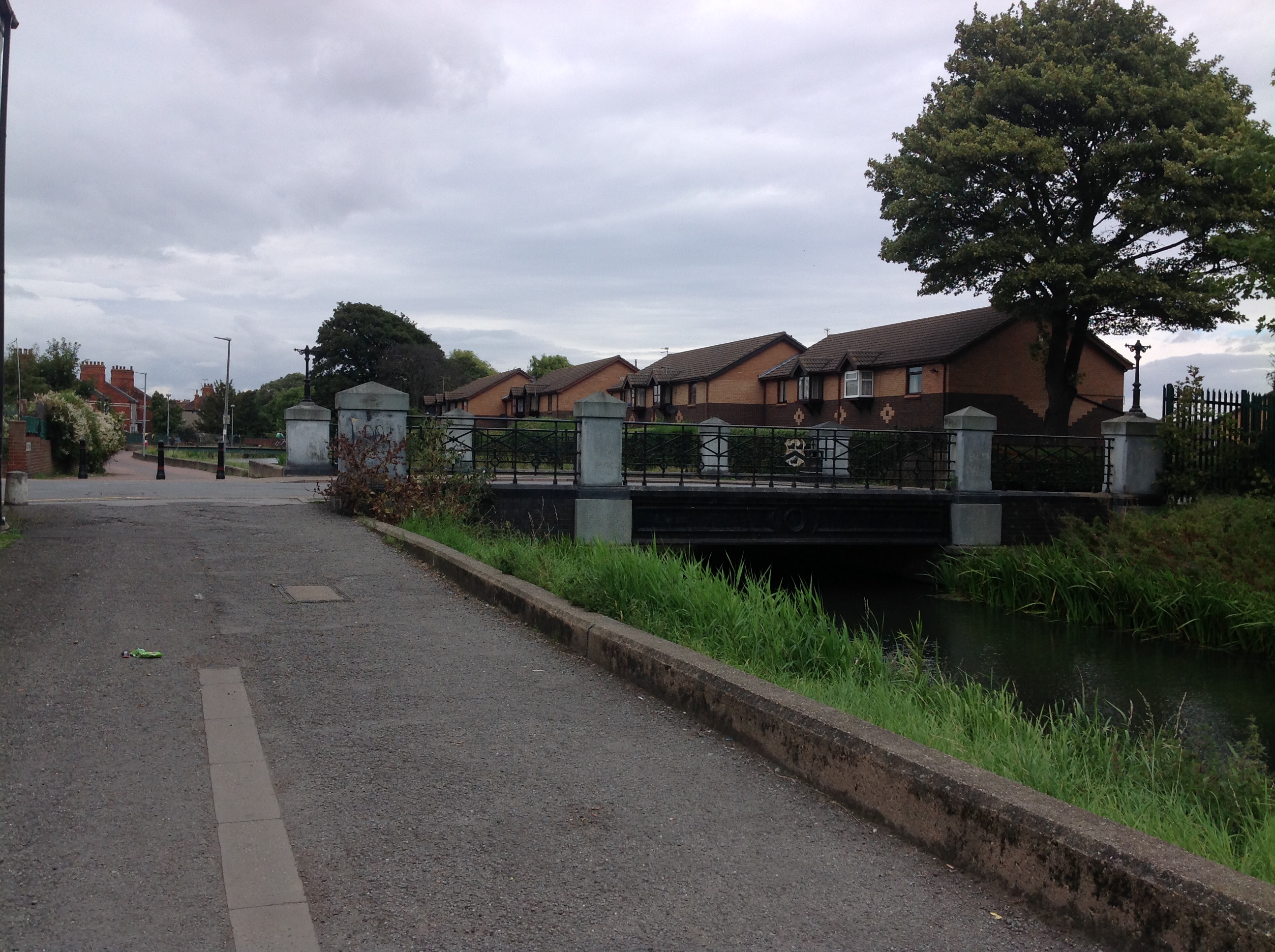
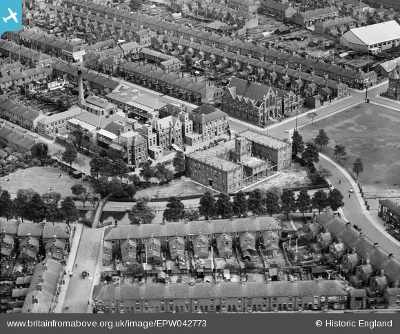
EPW042773 ENGLAND (1933). The Grimsby & District Hospital alongside the River Freshney and the Methodist Church, Grimsby, 1933
© Copyright OpenStreetMap contributors and licensed by the OpenStreetMap Foundation. 2025. Cartography is licensed as CC BY-SA.
Nearby Images (5)
EPW042773

EPW042772

EPW042770

EPW042771

EPW042774

Details
| Title | [EPW042773] The Grimsby & District Hospital alongside the River Freshney and the Methodist Church, Grimsby, 1933 |
| Reference | EPW042773 |
| Date | August-1933 |
| Link | |
| Place name | GRIMSBY |
| Parish | |
| District | |
| Country | ENGLAND |
| Easting / Northing | 526501, 409636 |
| Longitude / Latitude | -0.089588297449241, 53.567818435011 |
| National Grid Reference | TA265096 |
Pins

Class31 |
Wednesday 11th of May 2016 07:40:19 AM | |
|
Class31 |
Tuesday 4th of March 2014 10:56:14 AM | |
|
Class31 |
Tuesday 4th of March 2014 08:19:16 AM | |
|
Class31 |
Tuesday 4th of March 2014 08:17:15 AM | |
|
Class31 |
Tuesday 4th of March 2014 08:16:46 AM | |
|
Class31 |
Tuesday 4th of March 2014 08:16:07 AM | |
|
Class31 |
Tuesday 4th of March 2014 08:15:30 AM | |
|
Class31 |
Tuesday 4th of March 2014 08:12:40 AM | |
|
Class31 |
Tuesday 4th of March 2014 08:12:20 AM | |
|
Class31 |
Tuesday 4th of March 2014 08:11:59 AM |