
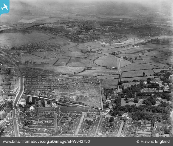
EPW042750 ENGLAND (1933). Cross Heath and May Bank, Newcastle-under-Lyme, 1933
© Copyright OpenStreetMap contributors and licensed by the OpenStreetMap Foundation. 2026. Cartography is licensed as CC BY-SA.
Nearby Images (3)
EPW042750

EPW042749

EPW042748

Details
| Title | [EPW042750] Cross Heath and May Bank, Newcastle-under-Lyme, 1933 |
| Reference | EPW042750 |
| Date | August-1933 |
| Link | |
| Place name | NEWCASTLE-UNDER-LYME |
| Parish | |
| District | |
| Country | ENGLAND |
| Easting / Northing | 384905, 347106 |
| Longitude / Latitude | -2.2250576126858, 53.020731196454 |
| National Grid Reference | SJ849471 |
