
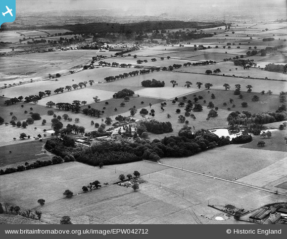
EPW042712 ENGLAND (1933). The Manor House and surrounding countryside, Freeford Manor, from the north-west, 1933
© Copyright OpenStreetMap contributors and licensed by the OpenStreetMap Foundation. 2026. Cartography is licensed as CC BY-SA.
Nearby Images (3)
EPW042712

EPW042713

EPW042714

Details
| Title | [EPW042712] The Manor House and surrounding countryside, Freeford Manor, from the north-west, 1933 |
| Reference | EPW042712 |
| Date | August-1933 |
| Link | |
| Place name | FREEFORD MANOR |
| Parish | SWINFEN AND PACKINGTON |
| District | |
| Country | ENGLAND |
| Easting / Northing | 413300, 307696 |
| Longitude / Latitude | -1.8033121823507, 52.66646710724 |
| National Grid Reference | SK133077 |
Pins
Be the first to add a comment to this image!