
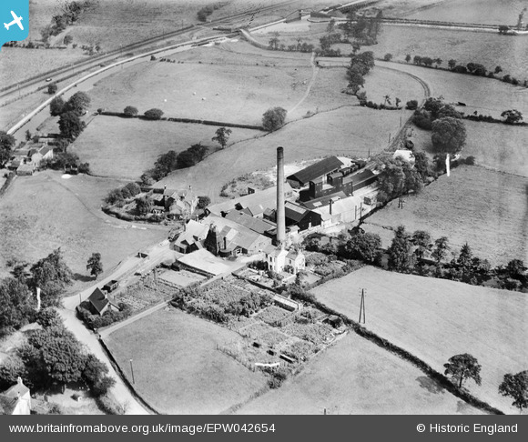
EPW042654 ENGLAND (1933). Harrison and Son Victoria Flint Mill, Stanley Moor, 1933
© Copyright OpenStreetMap contributors and licensed by the OpenStreetMap Foundation. 2025. Cartography is licensed as CC BY-SA.
Nearby Images (5)
EPW042654

EPW042656

EPW042657

EPW042658

EPW042655

Details
| Title | [EPW042654] Harrison and Son Victoria Flint Mill, Stanley Moor, 1933 |
| Reference | EPW042654 |
| Date | August-1933 |
| Link | |
| Place name | STANLEY MOOR |
| Parish | BAGNALL |
| District | |
| Country | ENGLAND |
| Easting / Northing | 392507, 352438 |
| Longitude / Latitude | -2.1118406013965, 53.068827036109 |
| National Grid Reference | SJ925524 |
Pins

MB |
Saturday 14th of September 2013 10:10:53 AM | |
Certainly is - the circular base is still there in the middle of the canal - as I discovered to my cost when I was steering a narrowboat a few years back! |
IvanSherratt |
Friday 11th of October 2013 11:36:59 AM |

bescotbeast |
Saturday 14th of September 2013 05:27:48 AM | |
|
bescotbeast |
Saturday 14th of September 2013 05:24:54 AM | |
|
IvanSherratt |
Sunday 7th of July 2013 04:32:42 PM | |
|
IvanSherratt |
Sunday 7th of July 2013 04:31:23 PM |