
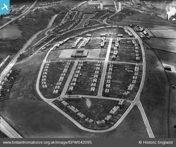
EPW042095 ENGLAND (1933). Bransty Primary School and surrounding housing estate, Whitehaven, 1933
© Copyright OpenStreetMap contributors and licensed by the OpenStreetMap Foundation. 2026. Cartography is licensed as CC BY-SA.
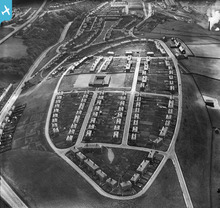
Nearby Images (2)
EPW042095

EPW029187

Details
| Title | [EPW042095] Bransty Primary School and surrounding housing estate, Whitehaven, 1933 |
| Reference | EPW042095 |
| Date | June-1933 |
| Link | |
| Place name | WHITEHAVEN |
| Parish | |
| District | |
| Country | ENGLAND |
| Easting / Northing | 297846, 519477 |
| Longitude / Latitude | -3.5799228547436, 54.560075577373 |
| National Grid Reference | NX978195 |
Pins
Be the first to add a comment to this image!
User Comment Contributions
16 |

MotoFreako64 |
Friday 14th of June 2013 08:56:33 PM |