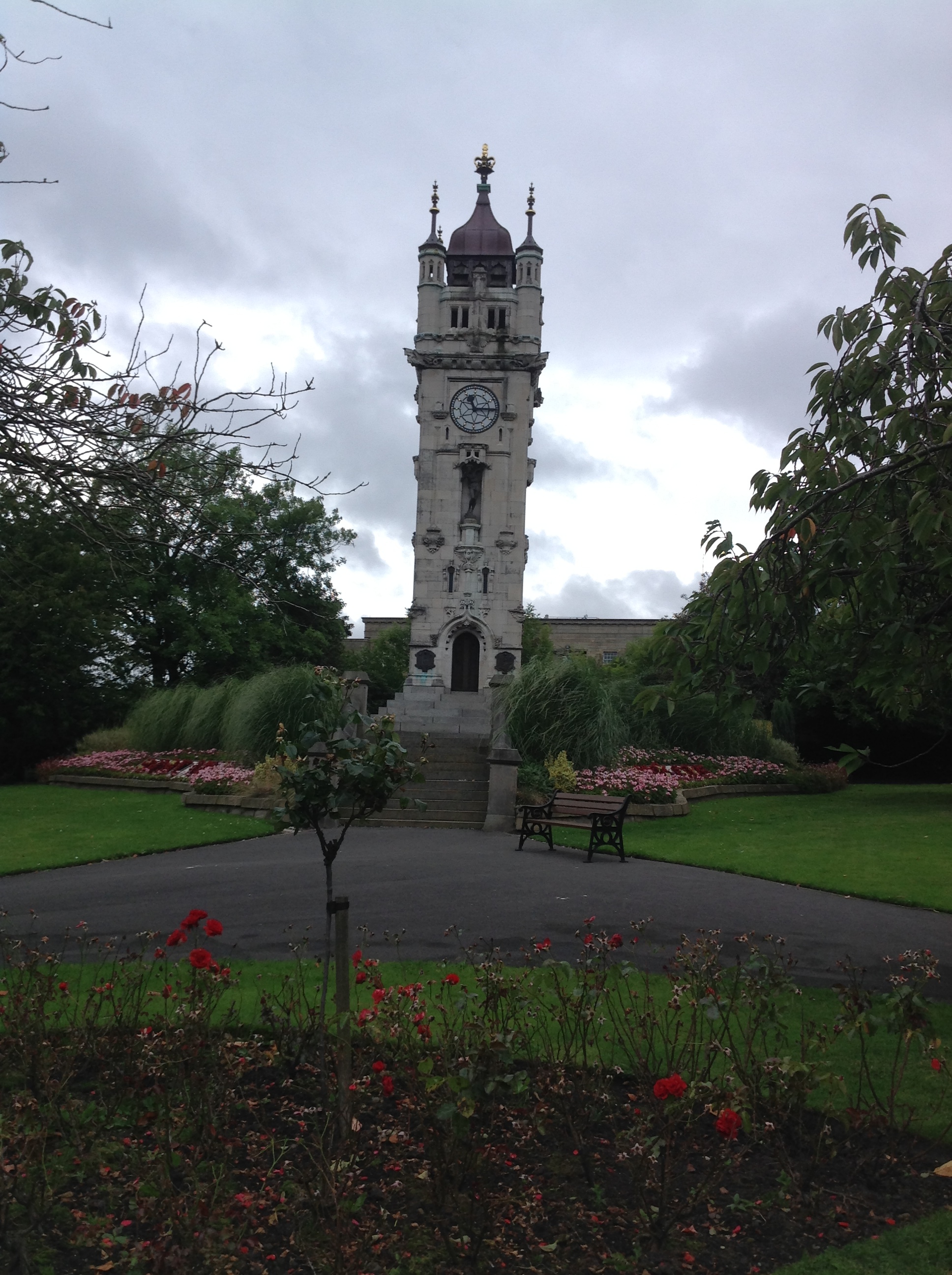
EPW042022 ENGLAND (1933). The Clock Tower and Tower Gardens and environs, Bury, 1933
    © Copyright OpenStreetMap contributors and licensed by the OpenStreetMap Foundation. 2025. Cartography is licensed as CC BY-SA.
  
Nearby Images (9)
Details
| Title | [EPW042022] The Clock Tower and Tower Gardens and environs, Bury, 1933 | 
| Reference | EPW042022 | 
| Date | July-1933 | 
| Link | |
| Place name | BURY | 
| Parish | |
| District | |
| Country | ENGLAND | 
| Easting / Northing | 380203, 410383 | 
| Longitude / Latitude | -2.2991098103323, 53.589415038955 | 
| National Grid Reference | SD802104 | 
Pins
|  The old Bury Athenaeum building which was demolished around 1970 to make way for the town centre redevelopment. It was replaced by this beauty of a building - https://www.google.co.uk/maps/@53.5925877,-2.2971443,3a,90y,60.26h,107.21t/data=!3m7!1e1!3m5!1sBhOk8KsqeORN3zdDZGIjLA!2e0!6s%2F%2Fgeo2.ggpht.com%2Fcbk%3Fpanoid%3DBhOk8KsqeORN3zdDZGIjLA%26output%3Dthumbnail%26cb_client%3Dmaps_sv.tactile.gps%26thumb%3D2%26w%3D203%26h%3D100%26yaw%3D132.26132%26pitch%3D0%26thumbfov%3D100!7i13312!8i6656 |   muso2001 | Sunday 1st of October 2017 11:29:42 AM | 
|  Site of Bury Town Hall |   muso2001 | Sunday 1st of October 2017 11:26:06 AM | 
|  Bolton Street railway station |   ValuerJim | Monday 16th of November 2015 03:01:35 PM | 
|  Brunswick Free Methodist Chapel. Now a Tesco store and car park |   Charles Dale | Monday 8th of June 2015 10:09:37 PM | 
|  Later site of electrified Bury-Manchester line, L&Y, B.R., now Metrolink (ugh!). By Barney Rubble. |   Barney Rubble | Monday 26th of January 2015 09:11:27 PM | 
|  Knowsley st. station. By Barney Rubble. |   Barney Rubble | Monday 26th of January 2015 09:09:56 PM | 
| Class31 | Monday 1st of September 2014 02:38:09 PM | |
| Class31 | Monday 1st of September 2014 02:36:24 PM | |
|  Lancashire Fusiliers Boer War, War Memorial, Whitehead Gardens, Bury, 25/08/2014 | Class31 | Monday 1st of September 2014 02:32:19 PM | 
User Comment Contributions
| The Clock Tower and Tower Gardens, Bury, 25/08/2014 | Class31 | Monday 1st of September 2014 02:24:05 PM | 
 
             
  ![[EPW042022] The Clock Tower and Tower Gardens and environs, Bury, 1933](http://britainfromabove.org.uk/sites/all/libraries/aerofilms-images/public/100x100/EPW/042/EPW042022.jpg) 
  
                                          ![[EPW046161] The Bury and Heywood Railway, the Market Hall and surrounding residential area, Bury, 1934](http://britainfromabove.org.uk/sites/all/libraries/aerofilms-images/public/100x100/EPW/046/EPW046161.jpg) 
 ![[EAW015988] The Town Hall, Knowsley Street and Manchester Road, Bury, 1948. This image has been produced from a print.](http://britainfromabove.org.uk/sites/all/libraries/aerofilms-images/public/100x100/EAW/015/EAW015988.jpg) 
 ![[EPW047507] Knowsley Street Railway Station and environs, Bury, 1935](http://britainfromabove.org.uk/sites/all/libraries/aerofilms-images/public/100x100/EPW/047/EPW047507.jpg) 
 ![[EPW046164] The Buckley Wells Carriage Shed, the Whitehead Clock Tower and environs, Bury, 1934](http://britainfromabove.org.uk/sites/all/libraries/aerofilms-images/public/100x100/EPW/046/EPW046164.jpg) 
 ![[EPW047497] Knowsley Street Station and environs, Bury, 1935](http://britainfromabove.org.uk/sites/all/libraries/aerofilms-images/public/100x100/EPW/047/EPW047497.jpg) 
 ![[EPW048645] Knowsley Street Railway Station and environs, Bury, 1935](http://britainfromabove.org.uk/sites/all/libraries/aerofilms-images/public/100x100/EPW/048/EPW048645.jpg) 
 ![[EPW048661] Knowsley Street Railway Station and environs, Bury, from the north-east, 1935](http://britainfromabove.org.uk/sites/all/libraries/aerofilms-images/public/100x100/EPW/048/EPW048661.jpg) 
 ![[EPW042020] Bury Grammar School and Bridge Road, Bury, 1933](http://britainfromabove.org.uk/sites/all/libraries/aerofilms-images/public/100x100/EPW/042/EPW042020.jpg)