
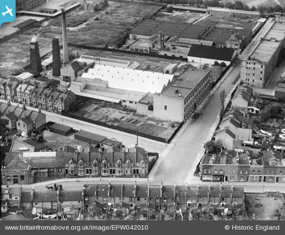
EPW042010 ENGLAND (1933). Factories along Ashley Road, Tottenham Hale, 1933
© Copyright OpenStreetMap contributors and licensed by the OpenStreetMap Foundation. 2026. Cartography is licensed as CC BY-SA.
Nearby Images (8)
EPW042010

EPW042011

EPW042013

EPW042012

EPW042008

EPW042009

EPW009969

EPW042080

Details
| Title | [EPW042010] Factories along Ashley Road, Tottenham Hale, 1933 |
| Reference | EPW042010 |
| Date | June-1933 |
| Link | |
| Place name | TOTTENHAM HALE |
| Parish | |
| District | |
| Country | ENGLAND |
| Easting / Northing | 534346, 189608 |
| Longitude / Latitude | -0.060492098543794, 51.588813385291 |
| National Grid Reference | TQ343896 |
