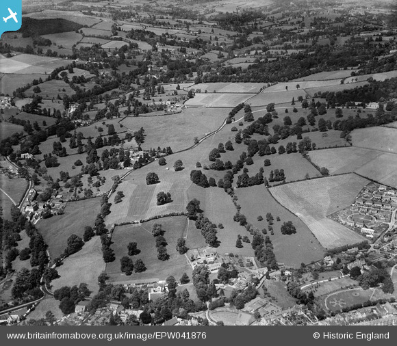
EPW041876 ENGLAND (1933). Badbrook and the Painswick Valley, Stroud, from the south, 1933
    © Copyright OpenStreetMap contributors and licensed by the OpenStreetMap Foundation. 2025. Cartography is licensed as CC BY-SA.
  
Nearby Images (5)
Details
| Title | [EPW041876] Badbrook and the Painswick Valley, Stroud, from the south, 1933 | 
| Reference | EPW041876 | 
| Date | July-1933 | 
| Link | |
| Place name | STROUD | 
| Parish | STROUD | 
| District | |
| Country | ENGLAND | 
| Easting / Northing | 385095, 205823 | 
| Longitude / Latitude | -2.2159363984329, 51.750448825467 | 
| National Grid Reference | SO851058 | 
Pins
Be the first to add a comment to this image!
 
             
  ![[EPW041876] Badbrook and the Painswick Valley, Stroud, from the south, 1933](http://britainfromabove.org.uk/sites/all/libraries/aerofilms-images/public/100x100/EPW/041/EPW041876.jpg) 
  
                                          ![[EPW041902] Badbrook and environs, Stroud, from the south, 1933](http://britainfromabove.org.uk/sites/all/libraries/aerofilms-images/public/100x100/EPW/041/EPW041902.jpg) 
 ![[EPW041877] Badbrook and the Painswick Valley, Stroud, from the south, 1933](http://britainfromabove.org.uk/sites/all/libraries/aerofilms-images/public/100x100/EPW/041/EPW041877.jpg) 
 ![[EPW041878] Badbrook and the Painswick Valley, Stroud, from the south, 1933](http://britainfromabove.org.uk/sites/all/libraries/aerofilms-images/public/100x100/EPW/041/EPW041878.jpg) 
 ![[EPW041903] Badbrook and the Painswick Valley, Stroud, from the south, 1933](http://britainfromabove.org.uk/sites/all/libraries/aerofilms-images/public/100x100/EPW/041/EPW041903.jpg)