
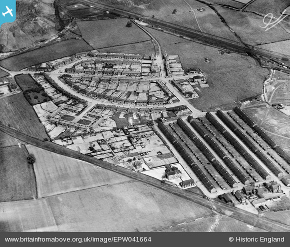
EPW041664 ENGLAND (1933). The village, Poolsbrook, 1933
© Copyright OpenStreetMap contributors and licensed by the OpenStreetMap Foundation. 2026. Cartography is licensed as CC BY-SA.
Nearby Images (2)
EPW041664

EPW041663

Details
| Title | [EPW041664] The village, Poolsbrook, 1933 |
| Reference | EPW041664 |
| Date | June-1933 |
| Link | |
| Place name | POOLSBROOK |
| Parish | STAVELEY |
| District | |
| Country | ENGLAND |
| Easting / Northing | 444210, 373560 |
| Longitude / Latitude | -1.337225744828, 53.256923670289 |
| National Grid Reference | SK442736 |
Pins
Be the first to add a comment to this image!