
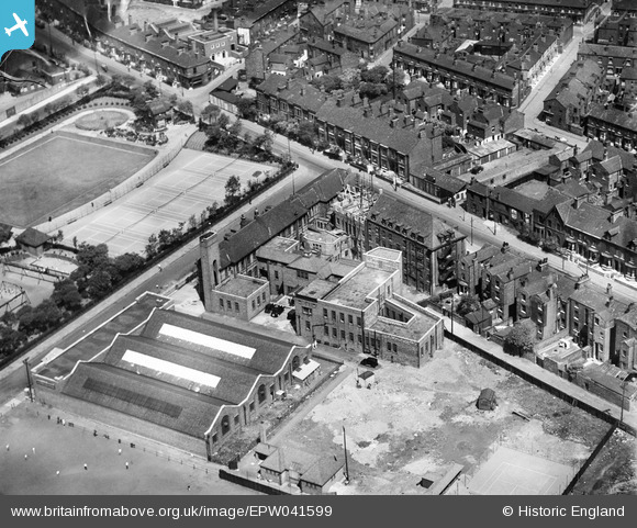
EPW041599 ENGLAND (1933). The Manchester Victoria Memorial Jewish Hospital and environs, Manchester, 1933
© Copyright OpenStreetMap contributors and licensed by the OpenStreetMap Foundation. 2026. Cartography is licensed as CC BY-SA.
Nearby Images (12)
EPW041599

EPW041598

EPW041596

EPW041594

EPW041597

EPW041595

EPW062716

EPW062721

EPW062720

EPW062718

EPW062717

EPW062719

Details
| Title | [EPW041599] The Manchester Victoria Memorial Jewish Hospital and environs, Manchester, 1933 |
| Reference | EPW041599 |
| Date | June-1933 |
| Link | |
| Place name | MANCHESTER |
| Parish | |
| District | |
| Country | ENGLAND |
| Easting / Northing | 384053, 400349 |
| Longitude / Latitude | -2.2404297097839, 53.499347514558 |
| National Grid Reference | SD841003 |
Pins

Pul |
Monday 13th of July 2020 06:19:15 PM |