
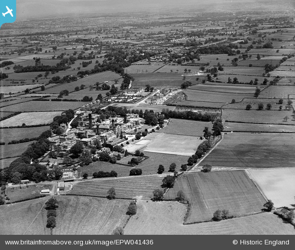
EPW041436 ENGLAND (1933). Derbyshire Lunatic Asylum (later known as Pastures Hospital) and surrounding countryside, Burnaston, from the south-west, 1933
© Copyright OpenStreetMap contributors and licensed by the OpenStreetMap Foundation. 2026. Cartography is licensed as CC BY-SA.
Nearby Images (5)
EPW041436
 and surrounding countryside, Burnaston, from the south-west, 1933")
EPW041435
 and surrounding countryside, Burnaston, from the west, 1933")
EPW041433
 and environs, Burnaston, 1933")
EPW041429
, Burnaston, 1933")
EPW041432
 and environs, Burnaston, 1933")
Details
| Title | [EPW041436] Derbyshire Lunatic Asylum (later known as Pastures Hospital) and surrounding countryside, Burnaston, from the south-west, 1933 |
| Reference | EPW041436 |
| Date | June-1933 |
| Link | |
| Place name | BURNASTON |
| Parish | BURNASTON |
| District | |
| Country | ENGLAND |
| Easting / Northing | 429691, 332948 |
| Longitude / Latitude | -1.5586278031024, 52.8928397348 |
| National Grid Reference | SK297329 |
Pins
Be the first to add a comment to this image!