
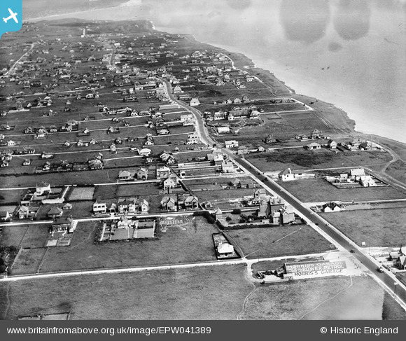
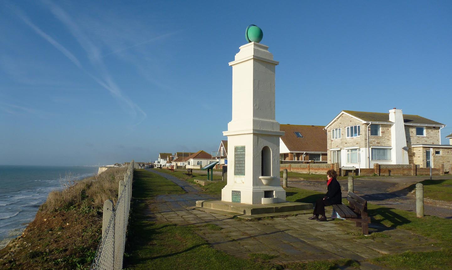
EPW041389 ENGLAND (1933). South Coast Road, Peacehaven, from the north-west, 1933
© Copyright OpenStreetMap contributors and licensed by the OpenStreetMap Foundation. 2025. Cartography is licensed as CC BY-SA.
Nearby Images (4)
EPW041389

EPW041393

EPW041392

EPW012390

Details
| Title | [EPW041389] South Coast Road, Peacehaven, from the north-west, 1933 |
| Reference | EPW041389 |
| Date | May-1933 |
| Link | |
| Place name | PEACEHAVEN |
| Parish | PEACEHAVEN |
| District | |
| Country | ENGLAND |
| Easting / Northing | 540265, 101244 |
| Longitude / Latitude | -0.0096199824568313, 50.793203036502 |
| National Grid Reference | TQ403012 |
Pins
Be the first to add a comment to this image!
User Comment Contributions
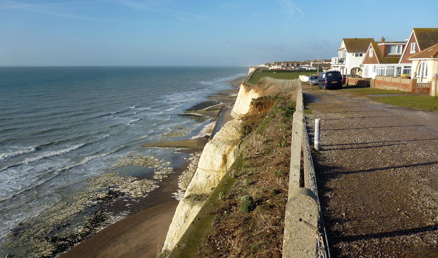
Peacehaven clff top walk |

Alan McFaden |
Sunday 14th of December 2014 04:08:00 PM |
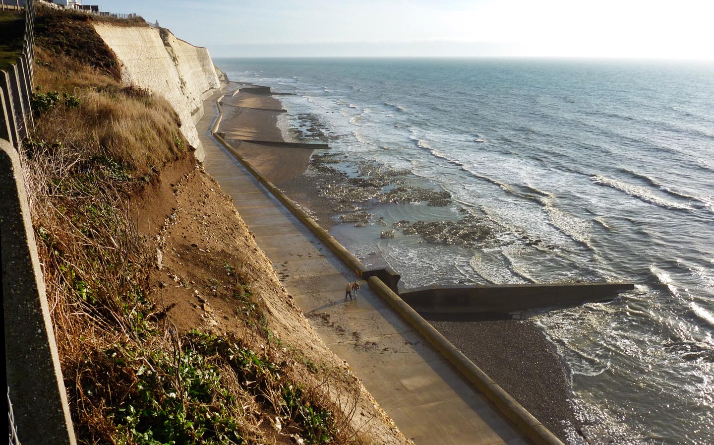
Peacehaven undercliff walk |
Alan McFaden |
Sunday 14th of December 2014 03:57:40 PM |

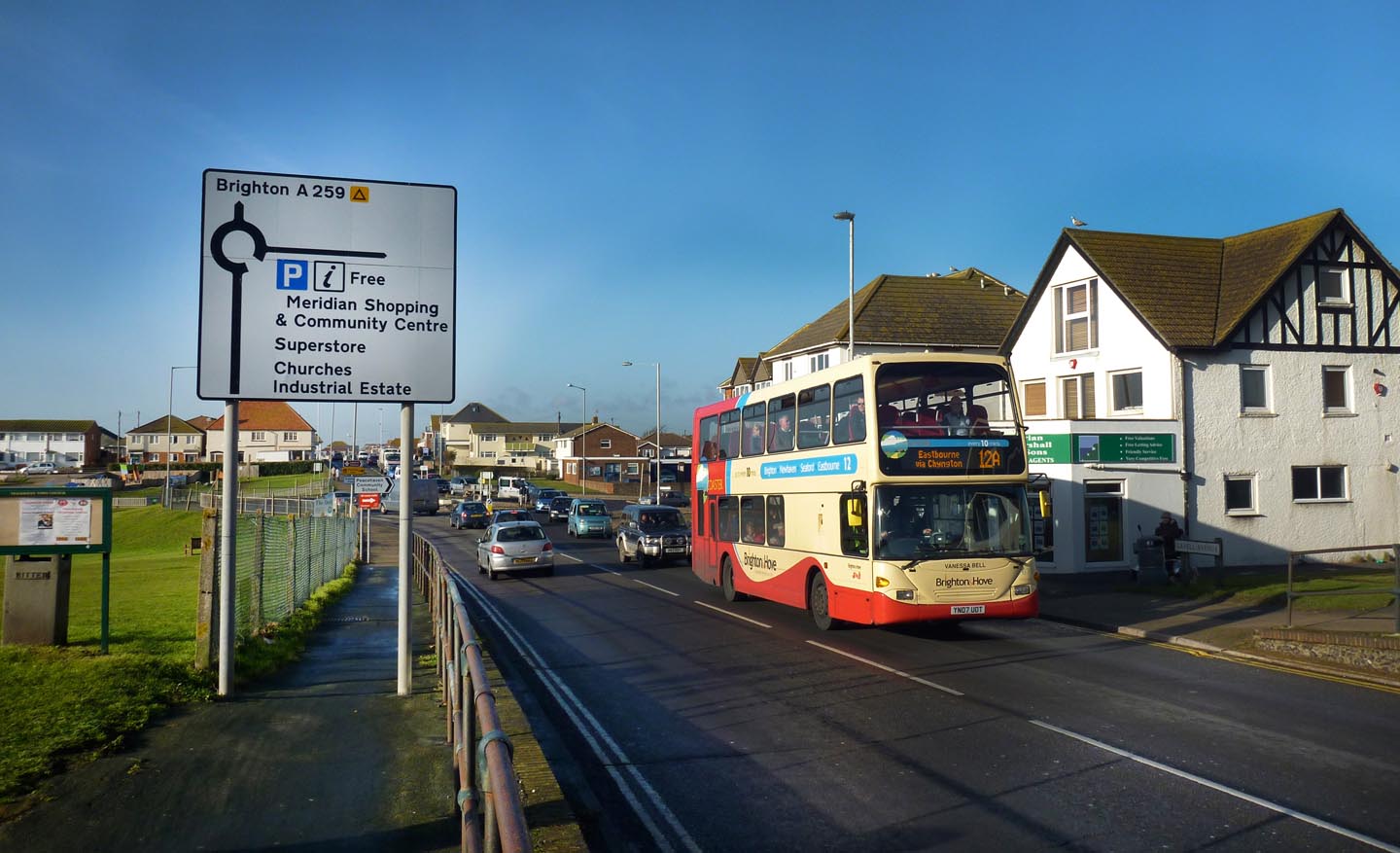
Peacehaven |
Alan McFaden |
Sunday 14th of December 2014 03:57:15 PM |
Peacehaven on the Meridian Line |
Alan McFaden |
Sunday 14th of December 2014 03:56:56 PM |
Peacehaven Meridian Marker |
Alan McFaden |
Sunday 14th of December 2014 03:56:28 PM |