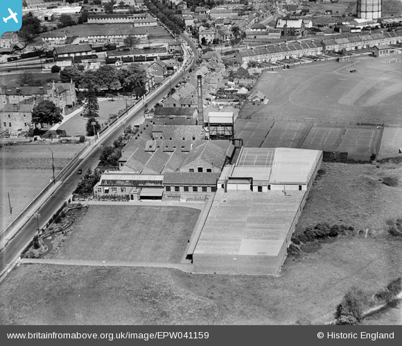
EPW041159 ENGLAND (1933). The Diploma Cheese Factory, Wells, 1933
© Copyright OpenStreetMap contributors and licensed by the OpenStreetMap Foundation. 2026. Cartography is licensed as CC BY-SA.
Nearby Images (7)
Details
| Title | [EPW041159] The Diploma Cheese Factory, Wells, 1933 |
| Reference | EPW041159 |
| Date | May-1933 |
| Link | |
| Place name | WELLS |
| Parish | WELLS |
| District | |
| Country | ENGLAND |
| Easting / Northing | 354329, 145003 |
| Longitude / Latitude | -2.6537727469638, 51.201894483852 |
| National Grid Reference | ST543450 |
Pins

Class31 |
Monday 23rd of March 2015 09:39:24 AM | |

MB |
Monday 6th of May 2013 11:48:50 AM | |

MB |
Monday 6th of May 2013 11:48:18 AM | |

MB |
Monday 6th of May 2013 11:47:46 AM | |

MB |
Monday 6th of May 2013 11:47:27 AM | |

MB |
Monday 6th of May 2013 11:47:05 AM | |

MB |
Monday 6th of May 2013 11:46:25 AM | |

MB |
Monday 6th of May 2013 11:44:52 AM | |

MB |
Monday 6th of May 2013 11:44:02 AM | |

MB |
Monday 6th of May 2013 11:43:28 AM |
User Comment Contributions

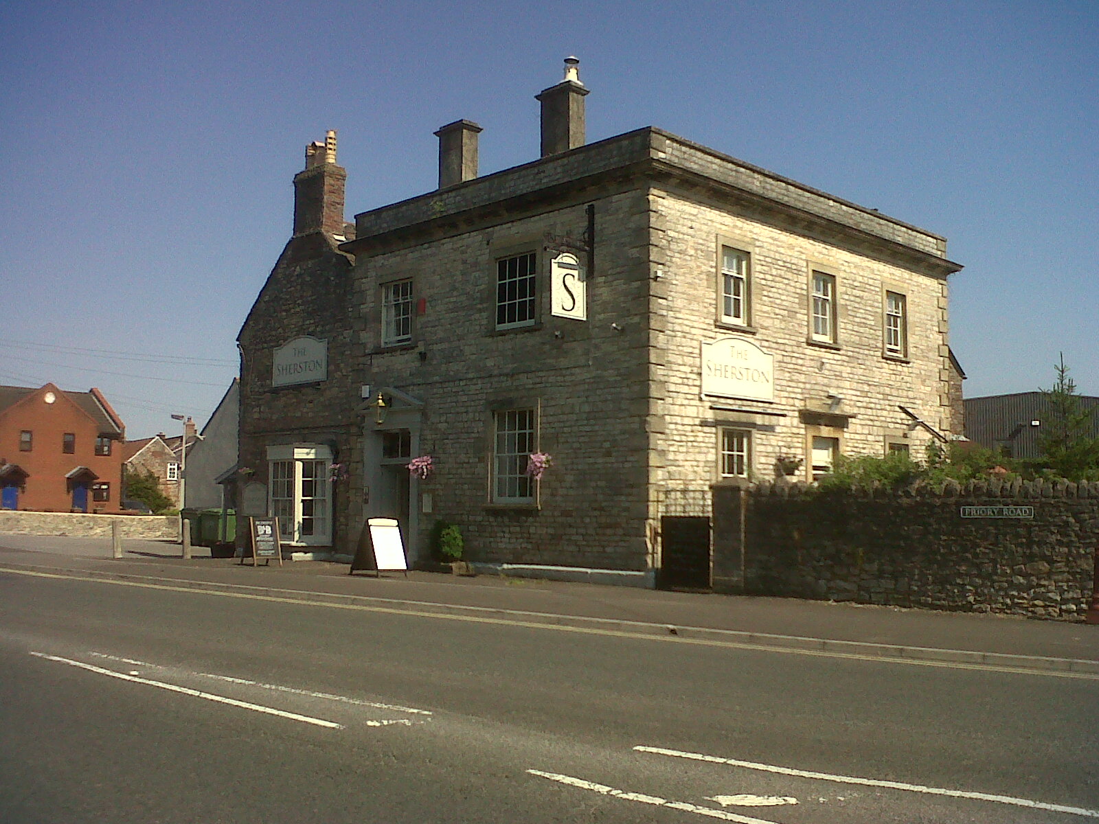
The Sherston Inn PH. Photograph taken 1st August 2013. |

Class31 |
Friday 2nd of August 2013 09:00:07 AM |
This photograph is fascinating because it shows road works in progress. A trench has been dug in the road by many men who can be seen in the photograph. The services will be laid and the road reinstated. All the labour involved would be done manually with picks and shovels. There were no JCB type machines available then. There is a horse and cart which would have brought materials to site. There were no temporary traffic lights or even a person with a stop/go board to control the traffic. How things have changed. |

Class31 |
Friday 2nd of August 2013 08:56:04 AM |


![[EPW041159] The Diploma Cheese Factory, Wells, 1933](http://britainfromabove.org.uk/sites/all/libraries/aerofilms-images/public/100x100/EPW/041/EPW041159.jpg)
![[EPW058867] The Wiltshire United Dairies Diploma Cheese Factory and adjacent Athletic Ground, Wells, 1938](http://britainfromabove.org.uk/sites/all/libraries/aerofilms-images/public/100x100/EPW/058/EPW058867.jpg)
![[EPW058864] The Wiltshire United Dairies Diploma Cheese Factory, Wells, 1938](http://britainfromabove.org.uk/sites/all/libraries/aerofilms-images/public/100x100/EPW/058/EPW058864.jpg)
![[EPW058865] The Wiltshire United Dairies Diploma Cheese Factory and adjacent Athletic Ground, Wells, 1938](http://britainfromabove.org.uk/sites/all/libraries/aerofilms-images/public/100x100/EPW/058/EPW058865.jpg)
![[EPW058866] The Wiltshire United Dairies Diploma Cheese Factory and the Infirmary, Wells, 1938. This image has been produced from a damaged negative.](http://britainfromabove.org.uk/sites/all/libraries/aerofilms-images/public/100x100/EPW/058/EPW058866.jpg)
![[EPW058868] The Wiltshire United Dairies Diploma Cheese Factory, Wells, 1938](http://britainfromabove.org.uk/sites/all/libraries/aerofilms-images/public/100x100/EPW/058/EPW058868.jpg)
![[EPW041158] The Diploma Cheese Factory and Wells Public Assistance Institution, Wells, 1933](http://britainfromabove.org.uk/sites/all/libraries/aerofilms-images/public/100x100/EPW/041/EPW041158.jpg)
