
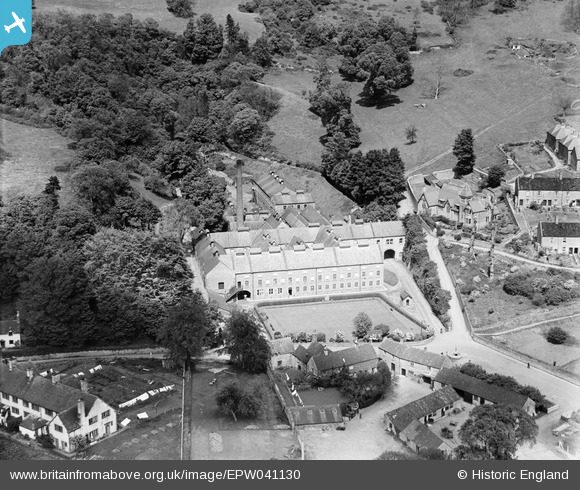
EPW041130 ENGLAND (1933). Hodgkinson's Wookey Hole Paper Mill, Wookey Hole, 1933
© Copyright OpenStreetMap contributors and licensed by the OpenStreetMap Foundation. 2026. Cartography is licensed as CC BY-SA.
Nearby Images (5)
EPW041130

EPW041131

EPW009599

EPW041128

EPW041129

Details
| Title | [EPW041130] Hodgkinson's Wookey Hole Paper Mill, Wookey Hole, 1933 |
| Reference | EPW041130 |
| Date | May-1933 |
| Link | |
| Place name | WOOKEY HOLE |
| Parish | ST. CUTHBERT OUT |
| District | |
| Country | ENGLAND |
| Easting / Northing | 353174, 147762 |
| Longitude / Latitude | -2.6706655280588, 51.226610788298 |
| National Grid Reference | ST532478 |
Pins
Be the first to add a comment to this image!