
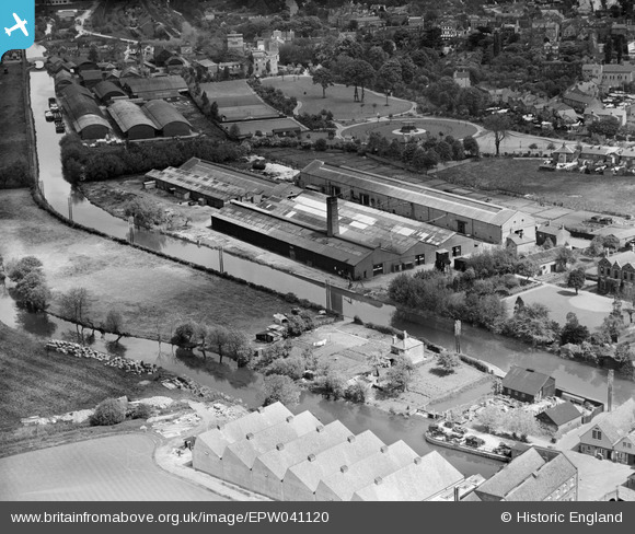
EPW041120 ENGLAND (1933). The Steel Barrel Works, Uxbridge, 1933
© Copyright OpenStreetMap contributors and licensed by the OpenStreetMap Foundation. 2026. Cartography is licensed as CC BY-SA.
Nearby Images (23)
EPW041120

EPW041121

EAW001335

EPW031271

EPW035265

EAW001333

EPW032882

EAW001329

EPW035264

EPW035272

EPW032885

EAW001332

EAW001334

EAW001331

EPW031272

EPW035268

EPW032887

EPW031270

EAW001336

EPW031273

EPW035271

EAW001330

EPW032884

Details
| Title | [EPW041120] The Steel Barrel Works, Uxbridge, 1933 |
| Reference | EPW041120 |
| Date | May-1933 |
| Link | |
| Place name | UXBRIDGE |
| Parish | |
| District | |
| Country | ENGLAND |
| Easting / Northing | 504960, 184043 |
| Longitude / Latitude | -0.48620852054161, 51.545030409896 |
| National Grid Reference | TQ050840 |
Pins

dave43 |
Monday 10th of June 2013 08:02:53 PM |