
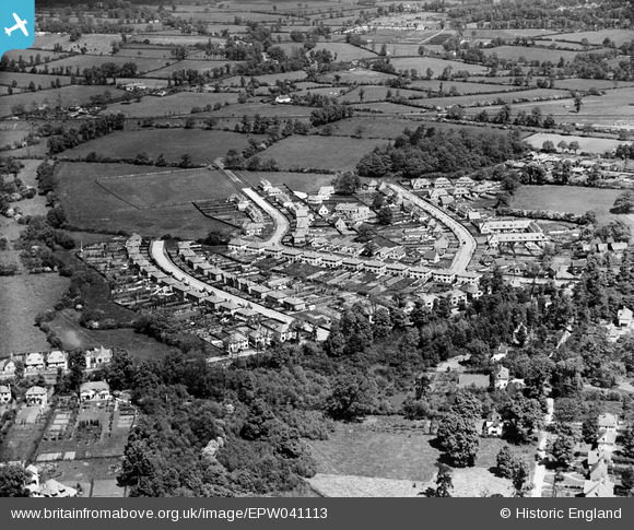
EPW041113 ENGLAND (1933). Housing development at Copthall Road (East), Ickenham, 1933
© Copyright OpenStreetMap contributors and licensed by the OpenStreetMap Foundation. 2025. Cartography is licensed as CC BY-SA.
Nearby Images (2)
EPW041113
, Ickenham, 1933")
EPW041114
, Ickenham, 1933")
Details
| Title | [EPW041113] Housing development at Copthall Road (East), Ickenham, 1933 |
| Reference | EPW041113 |
| Date | May-1933 |
| Link | |
| Place name | ICKENHAM |
| Parish | |
| District | |
| Country | ENGLAND |
| Easting / Northing | 507473, 186512 |
| Longitude / Latitude | -0.44922399713414, 51.566751474335 |
| National Grid Reference | TQ075865 |
Pins
 Linda |
Sunday 25th of August 2013 07:45:20 AM |