
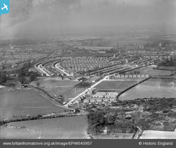
EPW040957 ENGLAND (1933). Housing at Princes Park Circle and Wood End Park Road, Hayes, from the south, 1933
© Copyright OpenStreetMap contributors and licensed by the OpenStreetMap Foundation. 2024. Cartography is licensed as CC BY-SA.
Nearby Images (2)
EPW040957

EPW031275

Details
| Title | [EPW040957] Housing at Princes Park Circle and Wood End Park Road, Hayes, from the south, 1933 |
| Reference | EPW040957 |
| Date | April-1933 |
| Link | |
| Place name | HAYES |
| Parish | |
| District | |
| Country | ENGLAND |
| Easting / Northing | 508606, 180672 |
| Longitude / Latitude | -0.43468442160513, 51.514038110422 |
| National Grid Reference | TQ086807 |
