
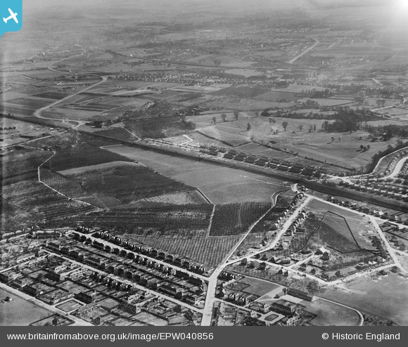
EPW040856 ENGLAND (1933). Barnehurst Golf Course and housing under construction at Barnehurst Avenue and environs, Barnehurst, from the north-west, 1933
© Copyright OpenStreetMap contributors and licensed by the OpenStreetMap Foundation. 2026. Cartography is licensed as CC BY-SA.
Nearby Images (5)
EPW040856

EPW040859

EPW044330

EPW040855

EPW044329

Details
| Title | [EPW040856] Barnehurst Golf Course and housing under construction at Barnehurst Avenue and environs, Barnehurst, from the north-west, 1933 |
| Reference | EPW040856 |
| Date | March-1933 |
| Link | |
| Place name | BARNEHURST |
| Parish | |
| District | |
| Country | ENGLAND |
| Easting / Northing | 550582, 176560 |
| Longitude / Latitude | 0.16815123732025, 51.467458543168 |
| National Grid Reference | TQ506766 |
Pins
Be the first to add a comment to this image!