
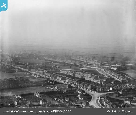
EPW040808 ENGLAND (1933). Eastcote Lane, Alexandra Avenue and environs, South Harrow, from the south-east, 1933
© Copyright OpenStreetMap contributors and licensed by the OpenStreetMap Foundation. 2025. Cartography is licensed as CC BY-SA.
Nearby Images (3)
EPW040808

EPW040818

EPW040817

Details
| Title | [EPW040808] Eastcote Lane, Alexandra Avenue and environs, South Harrow, from the south-east, 1933 |
| Reference | EPW040808 |
| Date | February-1933 |
| Link | |
| Place name | SOUTH HARROW |
| Parish | |
| District | |
| Country | ENGLAND |
| Easting / Northing | 513536, 186379 |
| Longitude / Latitude | -0.36181869416248, 51.564367601622 |
| National Grid Reference | TQ135864 |
