
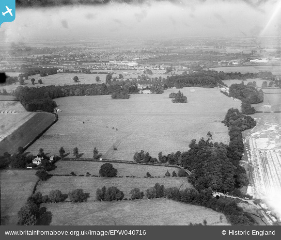
EPW040716 ENGLAND (1932). Cranford House and park, Cranford Park, from the south, 1932
© Copyright OpenStreetMap contributors and licensed by the OpenStreetMap Foundation. 2026. Cartography is licensed as CC BY-SA.
Nearby Images (6)
EPW040716

EPW040717

EPW040462

EPW037870

EPW037872

EPW037871

Details
| Title | [EPW040716] Cranford House and park, Cranford Park, from the south, 1932 |
| Reference | EPW040716 |
| Date | October-1932 |
| Link | |
| Place name | CRANFORD PARK |
| Parish | |
| District | |
| Country | ENGLAND |
| Easting / Northing | 509942, 177343 |
| Longitude / Latitude | -0.41647441089164, 51.483855035275 |
| National Grid Reference | TQ099773 |
Pins
Be the first to add a comment to this image!