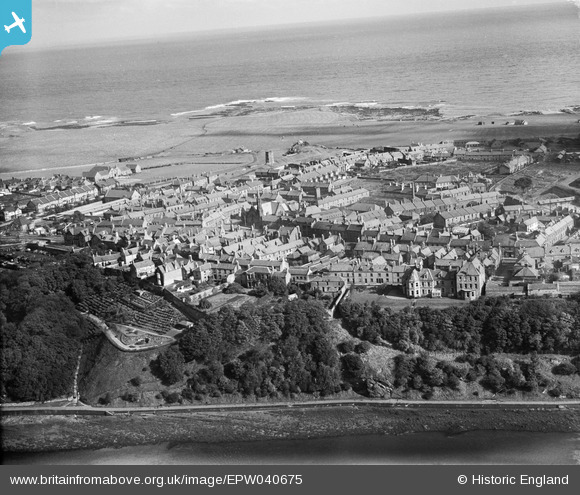
EPW040675 ENGLAND (1932). The Greenses, Berwick-upon-Tweed, from the south-west, 1932
    © Copyright OpenStreetMap contributors and licensed by the OpenStreetMap Foundation. 2025. Cartography is licensed as CC BY-SA.
  
Details
| Title | [EPW040675] The Greenses, Berwick-upon-Tweed, from the south-west, 1932 | 
| Reference | EPW040675 | 
| Date | October-1932 | 
| Link | |
| Place name | BERWICK-UPON-TWEED | 
| Parish | BERWICK-UPON-TWEED | 
| District | |
| Country | ENGLAND | 
| Easting / Northing | 399498, 653150 | 
| Longitude / Latitude | -2.0080026927934, 55.771704769811 | 
| National Grid Reference | NT995532 | 
Pins
Be the first to add a comment to this image!
 
             
  ![[EPW040675] The Greenses, Berwick-upon-Tweed, from the south-west, 1932](http://britainfromabove.org.uk/sites/all/libraries/aerofilms-images/public/100x100/EPW/040/EPW040675.jpg) 
  
                                          ![[EAW046411] The Royal Border Bridge, the Royal Tweed Bridge and Berwick Bridge, Berwick-upon-Tweed, 1952](http://britainfromabove.org.uk/sites/all/libraries/aerofilms-images/public/100x100/EAW/046/EAW046411.jpg) 
 ![[EAW046008] The Royal Border, Royal Tweed and Berwick Bridges, Berwick-upon-Tweed, 1952](http://britainfromabove.org.uk/sites/all/libraries/aerofilms-images/public/100x100/EAW/046/EAW046008.jpg) 
 ![[EAW046009] The Royal Border, Royal Tweed and Berwick Bridges and the town, Berwick-upon-Tweed, from the north-west, 1952](http://britainfromabove.org.uk/sites/all/libraries/aerofilms-images/public/100x100/EAW/046/EAW046009.jpg)