
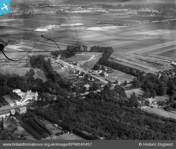
EPW040457 ENGLAND (1932). Laing's Cranford Estate at Firs Drive, Heston Aerodrome and environs, Cranford, 1932. This image has been produced from a damaged negative.
© Copyright OpenStreetMap contributors and licensed by the OpenStreetMap Foundation. 2026. Cartography is licensed as CC BY-SA.
Nearby Images (6)
EPW040457

EPW040458

EPW040461

EPW040456

EPW040455

EPW056594

Details
| Title | [EPW040457] Laing's Cranford Estate at Firs Drive, Heston Aerodrome and environs, Cranford, 1932. This image has been produced from a damaged negative. |
| Reference | EPW040457 |
| Date | September-1932 |
| Link | |
| Place name | CRANFORD |
| Parish | |
| District | |
| Country | ENGLAND |
| Easting / Northing | 510674, 176905 |
| Longitude / Latitude | -0.4060728747146, 51.479775030195 |
| National Grid Reference | TQ107769 |
Pins
Be the first to add a comment to this image!