
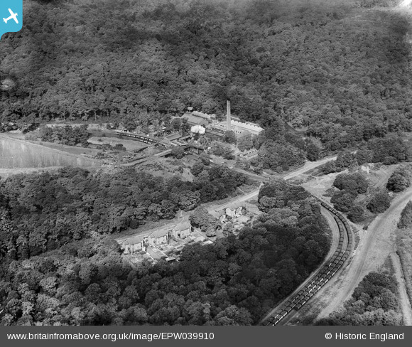
EPW039910 ENGLAND (1932). Cannop Colliery, Cannop, 1932
© Copyright OpenStreetMap contributors and licensed by the OpenStreetMap Foundation. 2026. Cartography is licensed as CC BY-SA.
Nearby Images (6)
EPW039910

EPW039911

EPW039912

EPW039915

EPW039914

EPW039913

Details
| Title | [EPW039910] Cannop Colliery, Cannop, 1932 |
| Reference | EPW039910 |
| Date | August-1932 |
| Link | |
| Place name | CANNOP |
| Parish | WEST DEAN |
| District | |
| Country | ENGLAND |
| Easting / Northing | 360822, 212423 |
| Longitude / Latitude | -2.5683240786066, 51.808621640757 |
| National Grid Reference | SO608124 |
Pins

Class31 |
Monday 30th of May 2016 10:52:41 PM |

User Comment Contributions
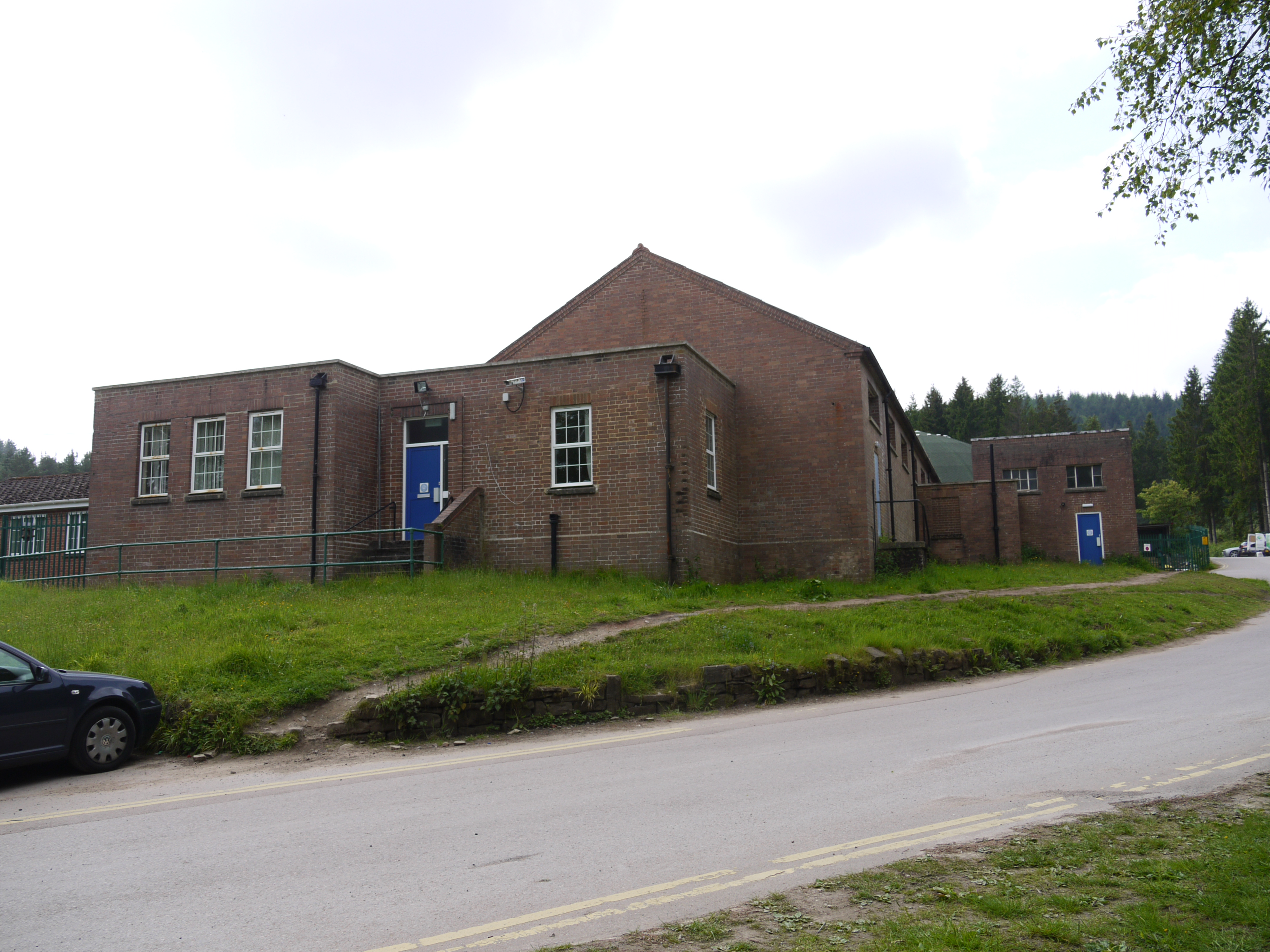
Cannop Colliery, 30/05/2016 |
Class31 |
Tuesday 31st of May 2016 12:43:07 PM |