
EPW039882 ENGLAND (1932). The River Strat and the town, Bude, 1932

© Copyright OpenStreetMap contributors and licensed by the OpenStreetMap Foundation. 2026. Cartography is licensed as CC BY-SA.
Nearby Images (5)
EPW039882

EPW033119

EPW033120

EPW039883

EPW033122

Details
| Title | [EPW039882] The River Strat and the town, Bude, 1932 |
| Reference | EPW039882 |
| Date | August-1932 |
| Link | |
| Place name | BUDE |
| Parish | BUDE-STRATTON |
| District | |
| Country | ENGLAND |
| Easting / Northing | 220991, 106225 |
| Longitude / Latitude | -4.5420775201179, 50.827285747543 |
| National Grid Reference | SS210062 |
Pins

User Comment Contributions
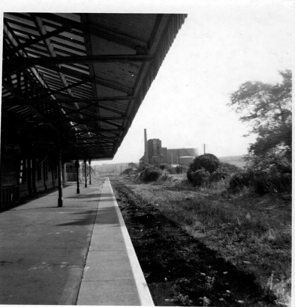
Bude Station 1967 just after the track had been lifted. |

Class31 |
Wednesday 6th of May 2015 05:54:02 PM |