
EPW039706 ENGLAND (1932). The entrance to Weymouth Harbour, Weymouth, from the south-west, 1932

© Copyright OpenStreetMap contributors and licensed by the OpenStreetMap Foundation. 2026. Cartography is licensed as CC BY-SA.
Nearby Images (4)
EPW039706

EPW039705

EPW013533

EAW002988

Details
| Title | [EPW039706] The entrance to Weymouth Harbour, Weymouth, from the south-west, 1932 |
| Reference | EPW039706 |
| Date | August-1932 |
| Link | |
| Place name | WEYMOUTH |
| Parish | |
| District | |
| Country | ENGLAND |
| Easting / Northing | 367712, 78569 |
| Longitude / Latitude | -2.4563272174028, 50.605357971345 |
| National Grid Reference | SY677786 |
Pins

Alan McFaden |
Saturday 19th of October 2013 09:10:10 AM | |
|
Alan McFaden |
Saturday 19th of October 2013 09:09:32 AM | |
|
Alan McFaden |
Saturday 19th of October 2013 09:09:01 AM | |
|
Alan McFaden |
Saturday 19th of October 2013 09:08:12 AM | |
|
Alan McFaden |
Saturday 19th of October 2013 09:07:34 AM | |
|
Alan McFaden |
Saturday 19th of October 2013 09:06:57 AM | |

Class31 |
Sunday 21st of July 2013 07:38:32 AM | |
|
Class31 |
Saturday 2nd of March 2013 01:52:08 PM | |
|
Class31 |
Saturday 2nd of March 2013 01:49:13 PM | |
|
Class31 |
Saturday 2nd of March 2013 01:46:13 PM | |
|
Class31 |
Friday 1st of March 2013 11:10:59 PM | |
|
Class31 |
Friday 1st of March 2013 11:10:05 PM |


User Comment Contributions
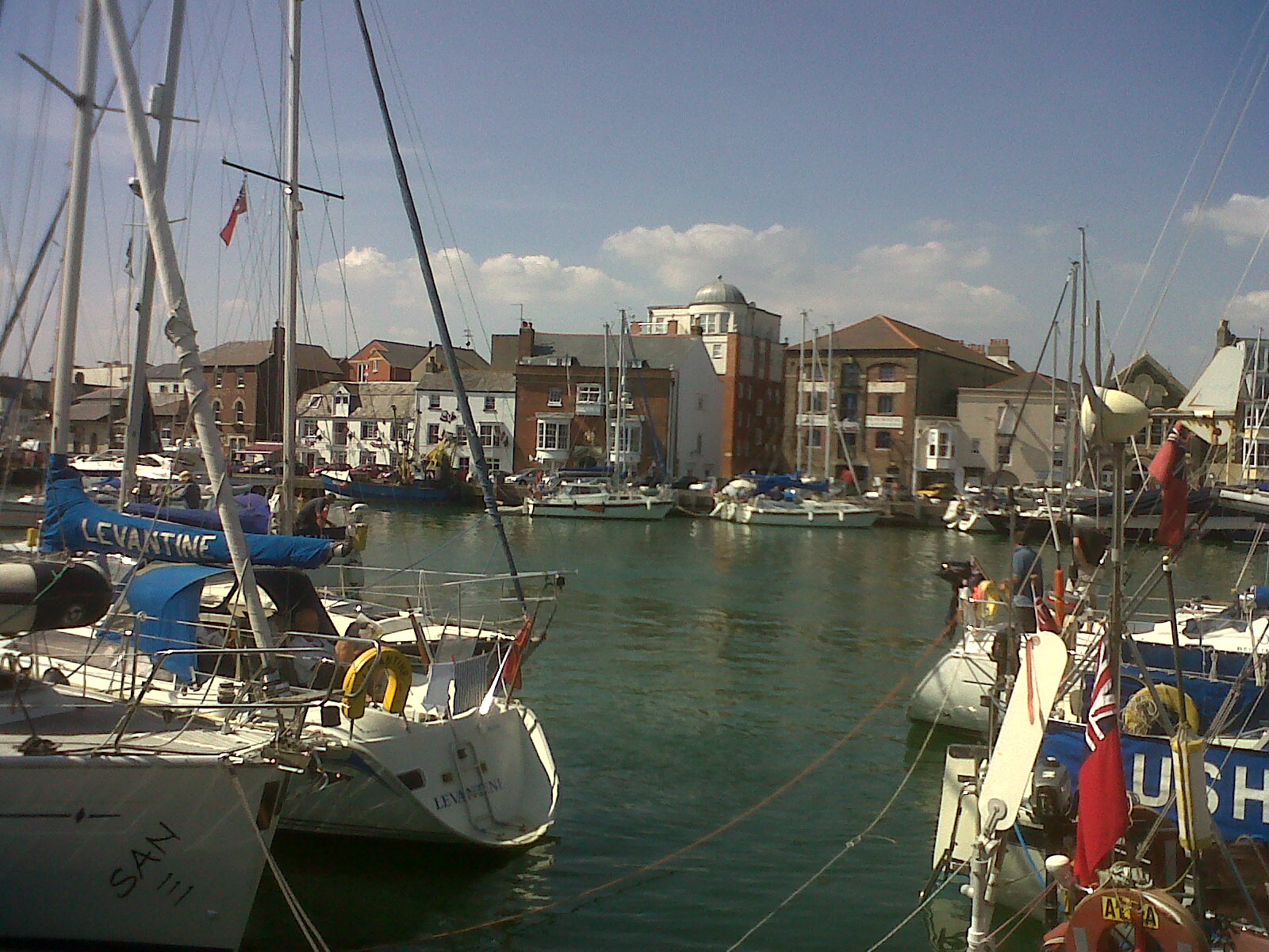
The harbour looking north. |
Class31 |
Sunday 21st of July 2013 07:35:48 AM |
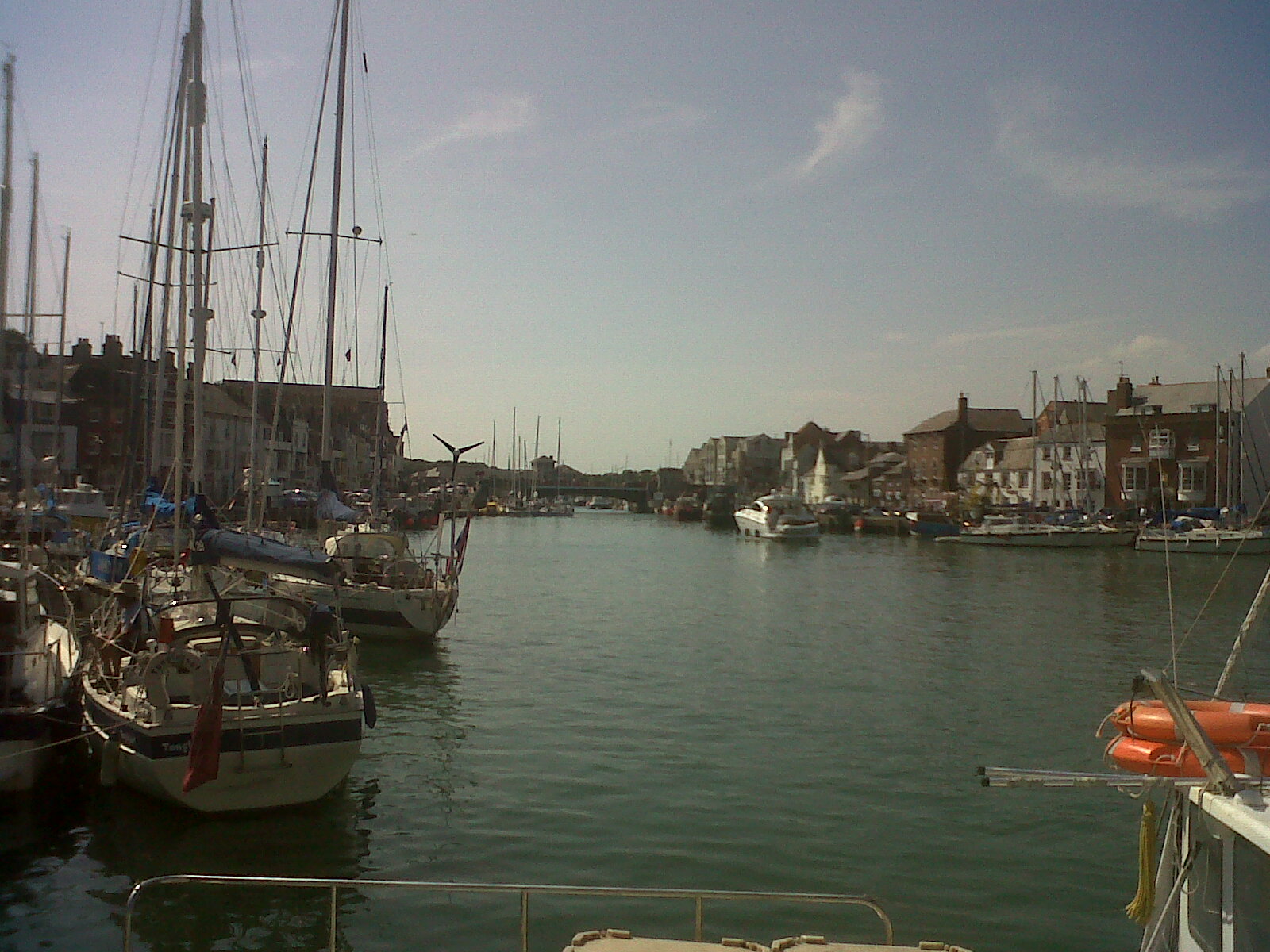
The harbour looking west. |
Class31 |
Sunday 21st of July 2013 07:34:12 AM |
The harbour looking north. |
Class31 |
Sunday 21st of July 2013 07:31:31 AM |
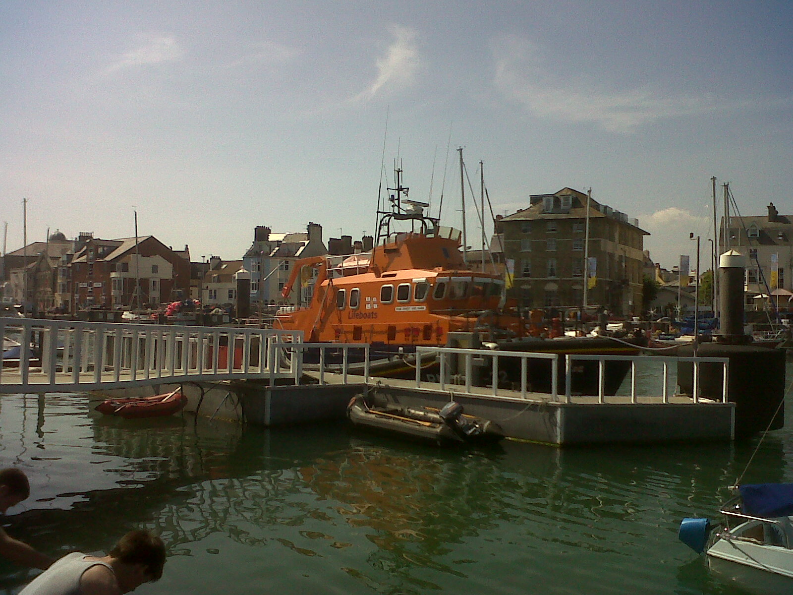
The lifeboat on station looking north. |
Class31 |
Sunday 21st of July 2013 07:29:21 AM |
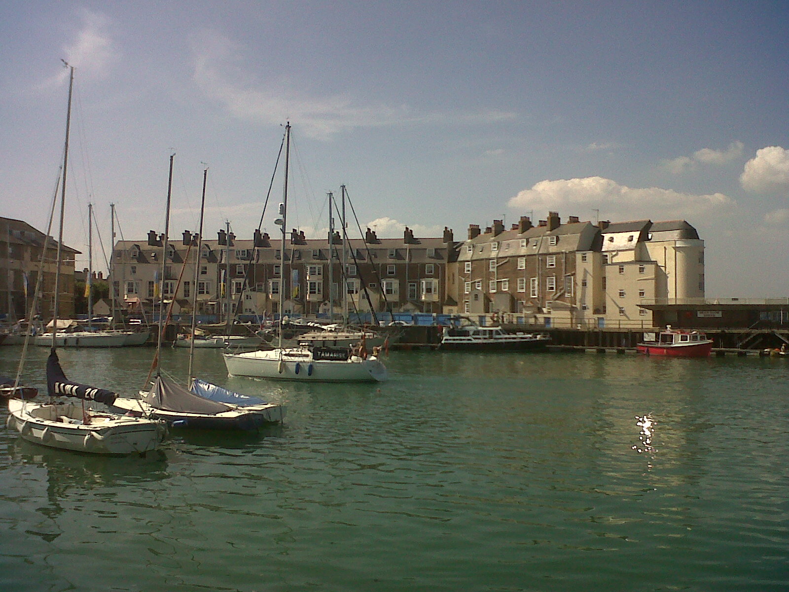
The harbour looking north. |
Class31 |
Sunday 21st of July 2013 07:27:57 AM |
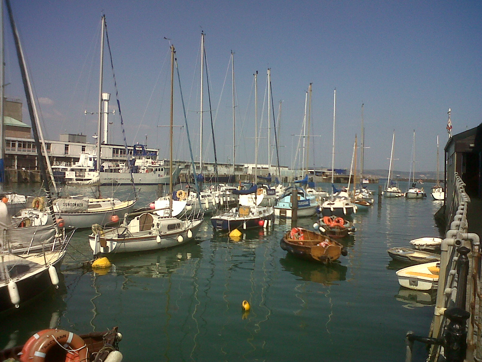
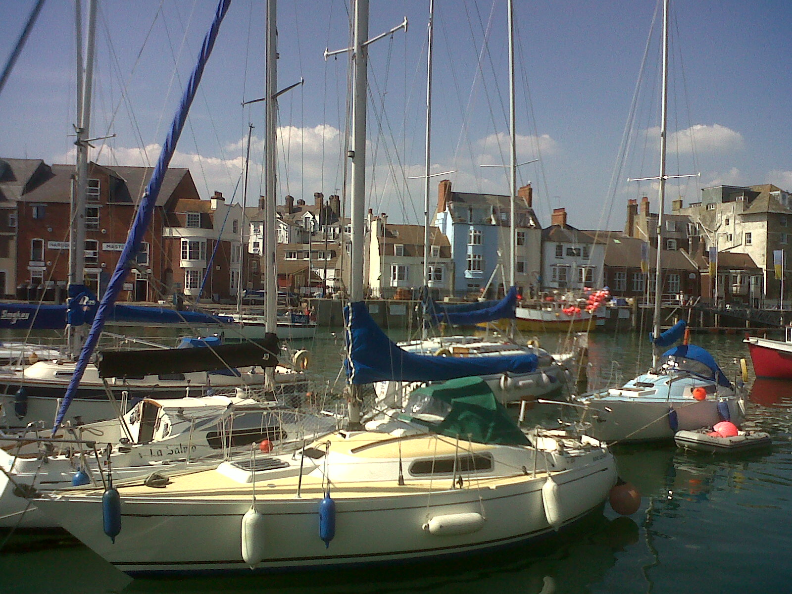
The harbour looking east. |
Class31 |
Sunday 21st of July 2013 07:26:28 AM |