
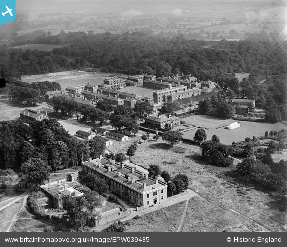
EPW039485 ENGLAND (1932). Warley Barracks and surrounding countryside, Brentwood, 1932
© Copyright OpenStreetMap contributors and licensed by the OpenStreetMap Foundation. 2026. Cartography is licensed as CC BY-SA.
Nearby Images (3)
EPW039485

EPW039486

EPW039487

Details
| Title | [EPW039485] Warley Barracks and surrounding countryside, Brentwood, 1932 |
| Reference | EPW039485 |
| Date | August-1932 |
| Link | |
| Place name | BRENTWOOD |
| Parish | |
| District | |
| Country | ENGLAND |
| Easting / Northing | 559277, 191504 |
| Longitude / Latitude | 0.30000139327367, 51.599353091867 |
| National Grid Reference | TQ593915 |
Pins

David Emery |
Friday 30th of May 2014 10:33:52 PM | |
|
David Emery |
Friday 30th of May 2014 10:32:15 PM | |
|
David Emery |
Friday 30th of May 2014 10:30:59 PM |
User Comment Contributions
I gather much of the complex has been demolished. The site is now used by the Ford Motor Company. |
MB |
Thursday 6th of June 2013 09:31:33 PM |