
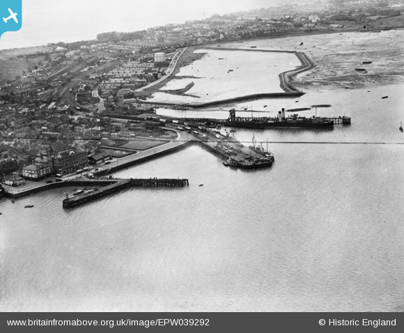
EPW039292 ENGLAND (1932). The harbour, Harwich, 1932. This image has been produced from a copy-negative.
© Copyright OpenStreetMap contributors and licensed by the OpenStreetMap Foundation. 2026. Cartography is licensed as CC BY-SA.
Nearby Images (5)
EPW039292

EAW043677

EAW043676

EPW039289

EAW043678

Details
| Title | [EPW039292] The harbour, Harwich, 1932. This image has been produced from a copy-negative. |
| Reference | EPW039292 |
| Date | July-1932 |
| Link | |
| Place name | HARWICH |
| Parish | HARWICH |
| District | |
| Country | ENGLAND |
| Easting / Northing | 625825, 232798 |
| Longitude / Latitude | 1.2863785971046, 51.947325729474 |
| National Grid Reference | TM258328 |
Pins
Be the first to add a comment to this image!