
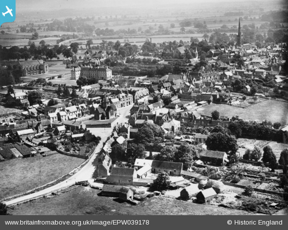
EPW039178 ENGLAND (1932). West Street and environs, Oundle, 1932. This image has been produced from a copy-negative.
© Copyright OpenStreetMap contributors and licensed by the OpenStreetMap Foundation. 2026. Cartography is licensed as CC BY-SA.
Nearby Images (2)
EPW039178

EPW039181

Details
| Title | [EPW039178] West Street and environs, Oundle, 1932. This image has been produced from a copy-negative. |
| Reference | EPW039178 |
| Date | July-1932 |
| Link | |
| Place name | OUNDLE |
| Parish | OUNDLE |
| District | |
| Country | ENGLAND |
| Easting / Northing | 503712, 288081 |
| Longitude / Latitude | -0.47268137658899, 52.480416107247 |
| National Grid Reference | TL037881 |
Pins
Be the first to add a comment to this image!