
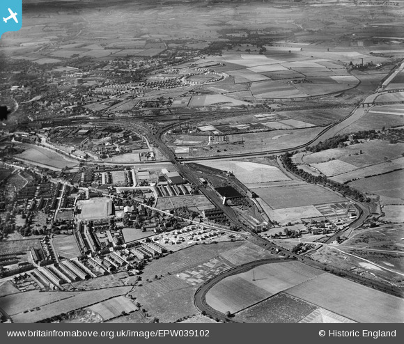
EPW039102 ENGLAND (1932). Belle Vue, Calder Vale and environs, Wakefield, from the south-east, 1932
© Copyright OpenStreetMap contributors and licensed by the OpenStreetMap Foundation. 2026. Cartography is licensed as CC BY-SA.
Nearby Images (3)
EPW039102

EPW039098

EPW039100

Details
| Title | [EPW039102] Belle Vue, Calder Vale and environs, Wakefield, from the south-east, 1932 |
| Reference | EPW039102 |
| Date | July-1932 |
| Link | |
| Place name | WAKEFIELD |
| Parish | |
| District | |
| Country | ENGLAND |
| Easting / Northing | 434781, 419393 |
| Longitude / Latitude | -1.4735002564361, 53.669624871917 |
| National Grid Reference | SE348194 |
Pins

Gavin Thomas |
Friday 2nd of September 2022 12:15:04 PM | |
|
Gavin Thomas |
Friday 2nd of September 2022 12:14:23 PM | |

Derekdye |
Monday 14th of January 2013 10:14:47 PM | |
|
Derekdye |
Monday 14th of January 2013 10:09:44 PM |