
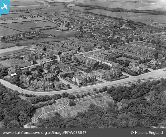
EPW038947 ENGLAND (1932). Albion Terrace and environs, Saltburn-by-the-Sea, 1932
© Copyright OpenStreetMap contributors and licensed by the OpenStreetMap Foundation. 2026. Cartography is licensed as CC BY-SA.
Nearby Images (2)
EPW038947

EPW038946
 and Valley Gardens, Saltburn-by-the-Sea, from the south, 1932")
Details
| Title | [EPW038947] Albion Terrace and environs, Saltburn-by-the-Sea, 1932 |
| Reference | EPW038947 |
| Date | July-1932 |
| Link | |
| Place name | SALTBURN-BY-THE-SEA |
| Parish | SALTBURN, MARSKE AND NEW MARSKE |
| District | |
| Country | ENGLAND |
| Easting / Northing | 466377, 521008 |
| Longitude / Latitude | -0.97293638085557, 54.579792891401 |
| National Grid Reference | NZ664210 |
Pins
Be the first to add a comment to this image!

