
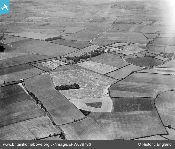
EPW038786 ENGLAND (1932). Rickling and surrounding poultry farming, Rickling, 1932
© Copyright OpenStreetMap contributors and licensed by the OpenStreetMap Foundation. 2025. Cartography is licensed as CC BY-SA.
Nearby Images (3)
EPW038786

EPW038783

EPW038784

Details
| Title | [EPW038786] Rickling and surrounding poultry farming, Rickling, 1932 |
| Reference | EPW038786 |
| Date | June-1932 |
| Link | |
| Place name | RICKLING |
| Parish | QUENDON AND RICKLING |
| District | |
| Country | ENGLAND |
| Easting / Northing | 550081, 231789 |
| Longitude / Latitude | 0.18473738770362, 51.963863129751 |
| National Grid Reference | TL501318 |
Pins
Be the first to add a comment to this image!