
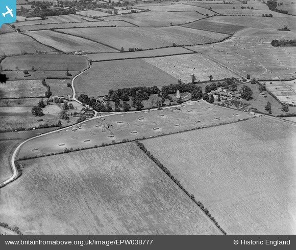
EPW038777 ENGLAND (1932). All Saints' Church and poultry farming at Church End Farm, Rickling, 1932
© Copyright OpenStreetMap contributors and licensed by the OpenStreetMap Foundation. 2026. Cartography is licensed as CC BY-SA.
Nearby Images (4)
EPW038777

EPW038774

EPW038788

EPW038771

Details
| Title | [EPW038777] All Saints' Church and poultry farming at Church End Farm, Rickling, 1932 |
| Reference | EPW038777 |
| Date | June-1932 |
| Link | |
| Place name | RICKLING |
| Parish | QUENDON AND RICKLING |
| District | |
| Country | ENGLAND |
| Easting / Northing | 549778, 231409 |
| Longitude / Latitude | 0.18016432434129, 51.960530444689 |
| National Grid Reference | TL498314 |
Pins
Be the first to add a comment to this image!