
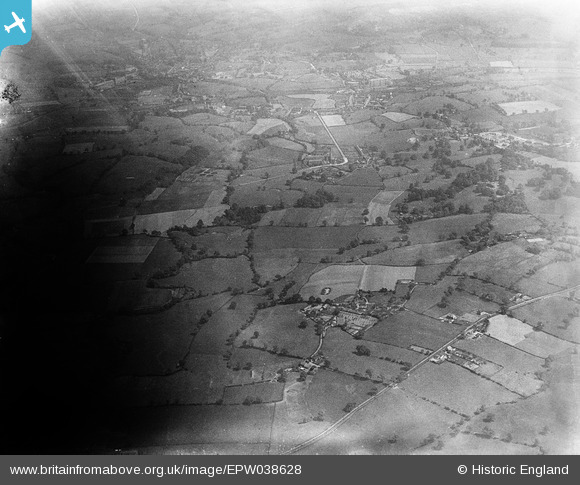
EPW038628 ENGLAND (1932). Butley Town and surrounding countryside, Butley Town, 1932
© Copyright OpenStreetMap contributors and licensed by the OpenStreetMap Foundation. 2025. Cartography is licensed as CC BY-SA.
Nearby Images (3)
EPW038628

EPW038624

EPW038626

Details
| Title | [EPW038628] Butley Town and surrounding countryside, Butley Town, 1932 |
| Reference | EPW038628 |
| Date | June-1932 |
| Link | |
| Place name | BUTLEY TOWN |
| Parish | PRESTBURY |
| District | |
| Country | ENGLAND |
| Easting / Northing | 391736, 377908 |
| Longitude / Latitude | -2.1240072292928, 53.29778890155 |
| National Grid Reference | SJ917779 |
Pins
Be the first to add a comment to this image!