
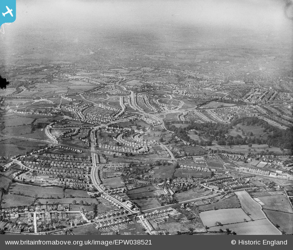
EPW038521 ENGLAND (1932). New housing estates surrounding Clent Road, Warley Hall Road and Warley Park, Warley Woods, from the south, 1932
© Copyright OpenStreetMap contributors and licensed by the OpenStreetMap Foundation. 2026. Cartography is licensed as CC BY-SA.
Nearby Images (2)
EPW038521

EPW038523

Details
| Title | [EPW038521] New housing estates surrounding Clent Road, Warley Hall Road and Warley Park, Warley Woods, from the south, 1932 |
| Reference | EPW038521 |
| Date | June-1932 |
| Link | |
| Place name | WARLEY WOODS |
| Parish | |
| District | |
| Country | ENGLAND |
| Easting / Northing | 400659, 285631 |
| Longitude / Latitude | -1.9902981845417, 52.468246256882 |
| National Grid Reference | SP007856 |
Pins

Steve Cemm |
Wednesday 3rd of August 2016 08:32:47 PM | |
|
Steve Cemm |
Wednesday 3rd of August 2016 08:32:12 PM | |
|
Steve Cemm |
Wednesday 3rd of August 2016 08:31:13 PM | |
|
Steve Cemm |
Wednesday 3rd of August 2016 08:30:32 PM | |
|
MathewSmart |
Friday 14th of November 2014 12:06:12 AM |