
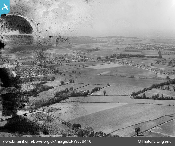
EPW038440 ENGLAND (1932). New housing site near Blackfen and Lamorbey Park Golf Course, Bexley, from the south-east, 1932. This image has been produced from a damaged negative.
© Copyright OpenStreetMap contributors and licensed by the OpenStreetMap Foundation. 2026. Cartography is licensed as CC BY-SA.
Nearby Images (4)
EPW038440

EPW040880

EPW038432

EPW038428

Details
| Title | [EPW038440] New housing site near Blackfen and Lamorbey Park Golf Course, Bexley, from the south-east, 1932. This image has been produced from a damaged negative. |
| Reference | EPW038440 |
| Date | 14-June-1932 |
| Link | |
| Place name | BEXLEY |
| Parish | |
| District | |
| Country | ENGLAND |
| Easting / Northing | 547288, 173538 |
| Longitude / Latitude | 0.11949940680047, 51.441168661177 |
| National Grid Reference | TQ473735 |
Pins

Barney |
Saturday 19th of August 2017 12:38:00 PM |