
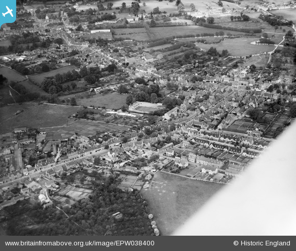
EPW038400 ENGLAND (1932). Corn Street and environs, Witney, 1932
© Copyright OpenStreetMap contributors and licensed by the OpenStreetMap Foundation. 2026. Cartography is licensed as CC BY-SA.
Nearby Images (5)
EPW038400

EPW054600

EPW054598

EPW014670

EPW022440

Details
| Title | [EPW038400] Corn Street and environs, Witney, 1932 |
| Reference | EPW038400 |
| Date | June-1932 |
| Link | |
| Place name | WITNEY |
| Parish | WITNEY |
| District | |
| Country | ENGLAND |
| Easting / Northing | 435367, 209650 |
| Longitude / Latitude | -1.4872394329119, 51.78394183981 |
| National Grid Reference | SP354097 |
Pins

robert willis |
Saturday 25th of January 2020 02:50:42 PM | |
|
robert willis |
Saturday 25th of January 2020 02:49:40 PM | |
|
Eagle eye |
Sunday 8th of February 2015 09:34:07 PM | |

Class31 |
Sunday 23rd of June 2013 08:36:25 PM |
