
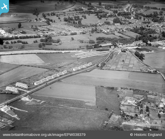
EPW038379 ENGLAND (1932). The Witney Mills, Burford Road and environs, Witney, 1932
© Copyright OpenStreetMap contributors and licensed by the OpenStreetMap Foundation. 2025. Cartography is licensed as CC BY-SA.
Nearby Images (6)
EPW038379

EPW038381

EPW038380

EPW038386

EPW038382

EPW038384

Details
| Title | [EPW038379] The Witney Mills, Burford Road and environs, Witney, 1932 |
| Reference | EPW038379 |
| Date | June-1932 |
| Link | |
| Place name | WITNEY |
| Parish | WITNEY |
| District | |
| Country | ENGLAND |
| Easting / Northing | 435172, 210307 |
| Longitude / Latitude | -1.4899998583937, 51.789861688465 |
| National Grid Reference | SP352103 |
Pins
Be the first to add a comment to this image!