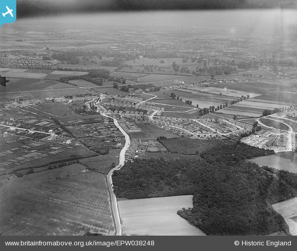
EPW038248 ENGLAND (1932). New housing around Christians Wood and environs, Blackfen, from the south-west, 1932
    © Copyright OpenStreetMap contributors and licensed by the OpenStreetMap Foundation. 2025. Cartography is licensed as CC BY-SA.
  
Details
| Title | [EPW038248] New housing around Christians Wood and environs, Blackfen, from the south-west, 1932 | 
| Reference | EPW038248 | 
| Date | June-1932 | 
| Link | |
| Place name | BLACKFEN | 
| Parish | |
| District | |
| Country | ENGLAND | 
| Easting / Northing | 545699, 173920 | 
| Longitude / Latitude | 0.096807244681389, 51.445012552096 | 
| National Grid Reference | TQ457739 | 
Pins
Be the first to add a comment to this image!
 
             
  ![[EPW038248] New housing around Christians Wood and environs, Blackfen, from the south-west, 1932](http://britainfromabove.org.uk/sites/all/libraries/aerofilms-images/public/100x100/EPW/038/EPW038248.jpg) 
  
                                          ![[EPW038252] New housing at Days Lane and environs, Blackfen, from the south-west, 1932](http://britainfromabove.org.uk/sites/all/libraries/aerofilms-images/public/100x100/EPW/038/EPW038252.jpg) 
 ![[EPW038247] New housing around Christians Wood and environs, Blackfen, from the south-west, 1932](http://britainfromabove.org.uk/sites/all/libraries/aerofilms-images/public/100x100/EPW/038/EPW038247.jpg) 
 ![[EPW038249] New housing around Christians Wood and environs, Blackfen, from the south-west, 1932](http://britainfromabove.org.uk/sites/all/libraries/aerofilms-images/public/100x100/EPW/038/EPW038249.jpg)