
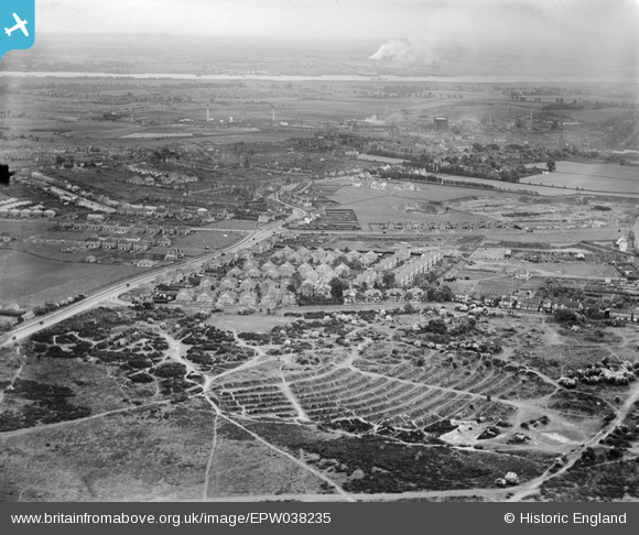
EPW038235 ENGLAND (1932). Dartford Heath and new housing at Heathview Crescent and environs, Dartford, from the south-west, 1932
© Copyright OpenStreetMap contributors and licensed by the OpenStreetMap Foundation. 2026. Cartography is licensed as CC BY-SA.
Nearby Images (2)
EPW038235

EPW038234

Details
| Title | [EPW038235] Dartford Heath and new housing at Heathview Crescent and environs, Dartford, from the south-west, 1932 |
| Reference | EPW038235 |
| Date | June-1932 |
| Link | |
| Place name | DARTFORD |
| Parish | |
| District | |
| Country | ENGLAND |
| Easting / Northing | 552403, 173220 |
| Longitude / Latitude | 0.19291123781987, 51.436957806936 |
| National Grid Reference | TQ524732 |
Pins

jahjerry |
Wednesday 29th of July 2015 11:31:15 PM | |
|
SirTricky |
Friday 25th of July 2014 03:05:22 PM | |
|
SirTricky |
Friday 25th of July 2014 02:54:20 PM | |
|
SirTricky |
Friday 25th of July 2014 02:52:53 PM | |
|
SirTricky |
Friday 25th of July 2014 02:52:27 PM |