
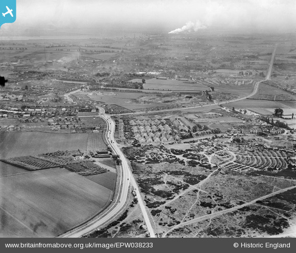
EPW038233 ENGLAND (1932). Shepherd's Lane and new housing at Heathview Crescent and environs, Dartford, from the west, 1932
© Copyright OpenStreetMap contributors and licensed by the OpenStreetMap Foundation. 2026. Cartography is licensed as CC BY-SA.
Nearby Images (5)
EPW038233

EAW027958

EAW027956

EAW027957

EPW038234

Details
| Title | [EPW038233] Shepherd's Lane and new housing at Heathview Crescent and environs, Dartford, from the west, 1932 |
| Reference | EPW038233 |
| Date | June-1932 |
| Link | |
| Place name | DARTFORD |
| Parish | |
| District | |
| Country | ENGLAND |
| Easting / Northing | 552116, 173365 |
| Longitude / Latitude | 0.1888471717349, 51.438337928404 |
| National Grid Reference | TQ521734 |
Pins
Be the first to add a comment to this image!