
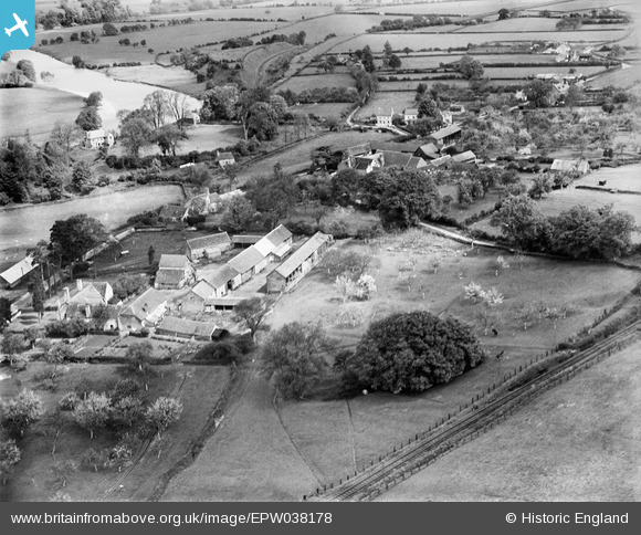
EPW038178 ENGLAND (1932). The village and surrounding countryside, Clifford, 1932
© Copyright OpenStreetMap contributors and licensed by the OpenStreetMap Foundation. 2025. Cartography is licensed as CC BY-SA.
Nearby Images (3)
EPW038178

EAW007984

EAW007985

Details
| Title | [EPW038178] The village and surrounding countryside, Clifford, 1932 |
| Reference | EPW038178 |
| Date | May-1932 |
| Link | |
| Place name | CLIFFORD |
| Parish | CLIFFORD |
| District | |
| Country | ENGLAND |
| Easting / Northing | 324487, 245441 |
| Longitude / Latitude | -3.1025855523117, 52.101730718158 |
| National Grid Reference | SO245454 |
