
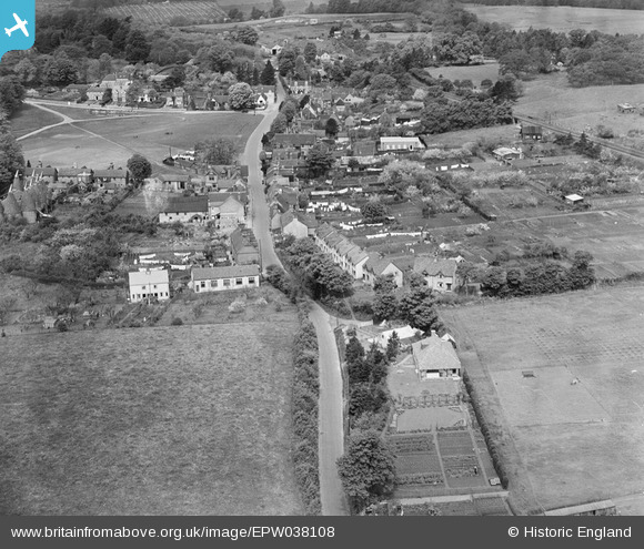
EPW038108 ENGLAND (1932). The Street, Bearsted, 1932
© Copyright OpenStreetMap contributors and licensed by the OpenStreetMap Foundation. 2026. Cartography is licensed as CC BY-SA.
Nearby Images (2)
EPW038108

EPW038107

Details
| Title | [EPW038108] The Street, Bearsted, 1932 |
| Reference | EPW038108 |
| Date | May-1932 |
| Link | |
| Place name | BEARSTED |
| Parish | BEARSTED |
| District | |
| Country | ENGLAND |
| Easting / Northing | 580309, 155821 |
| Longitude / Latitude | 0.58522273211625, 51.272458962974 |
| National Grid Reference | TQ803558 |
Pins
Be the first to add a comment to this image!