
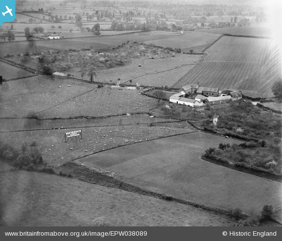
EPW038089 ENGLAND (1932). The Farm above Barnshayes, Whimple, 1932
© Copyright OpenStreetMap contributors and licensed by the OpenStreetMap Foundation. 2026. Cartography is licensed as CC BY-SA.
Nearby Images (4)
EPW038089

EPW038090

EPW038086

EPW038073

Details
| Title | [EPW038089] The Farm above Barnshayes, Whimple, 1932 |
| Reference | EPW038089 |
| Date | May-1932 |
| Link | |
| Place name | WHIMPLE |
| Parish | WHIMPLE |
| District | |
| Country | ENGLAND |
| Easting / Northing | 303508, 97189 |
| Longitude / Latitude | -3.368402598711, 50.765687817904 |
| National Grid Reference | SY035972 |
Pins
Be the first to add a comment to this image!