
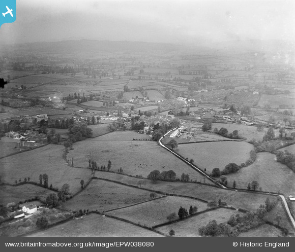
EPW038080 ENGLAND (1932). The village, Whimple, from the south-east, 1932
© Copyright OpenStreetMap contributors and licensed by the OpenStreetMap Foundation. 2025. Cartography is licensed as CC BY-SA.
Nearby Images (2)
EPW038080

EPW038078

Details
| Title | [EPW038080] The village, Whimple, from the south-east, 1932 |
| Reference | EPW038080 |
| Date | May-1932 |
| Link | |
| Place name | WHIMPLE |
| Parish | WHIMPLE |
| District | |
| Country | ENGLAND |
| Easting / Northing | 304904, 96926 |
| Longitude / Latitude | -3.3485431149609, 50.763553703572 |
| National Grid Reference | SY049969 |
Pins
Be the first to add a comment to this image!