
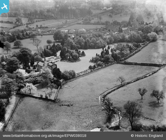
EPW038018 ENGLAND (1932). Abbey House gardens, Darley Dale, 1932
© Copyright OpenStreetMap contributors and licensed by the OpenStreetMap Foundation. 2026. Cartography is licensed as CC BY-SA.
Nearby Images (8)
EPW038018

EPW038017

EPW038016

EPW038021

EPW038023

EPW038019

EPW038020

EPW038022

Details
| Title | [EPW038018] Abbey House gardens, Darley Dale, 1932 |
| Reference | EPW038018 |
| Date | May-1932 |
| Link | |
| Place name | DARLEY DALE |
| Parish | DARLEY DALE |
| District | |
| Country | ENGLAND |
| Easting / Northing | 426534, 363148 |
| Longitude / Latitude | -1.6030722032581, 53.164501606891 |
| National Grid Reference | SK265631 |
Pins
Be the first to add a comment to this image!